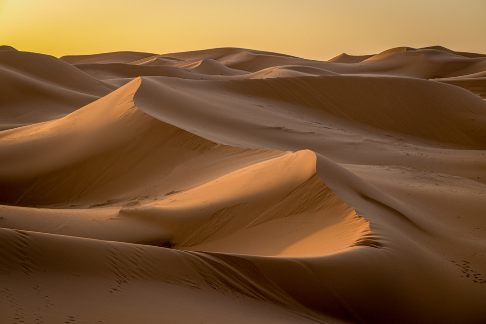
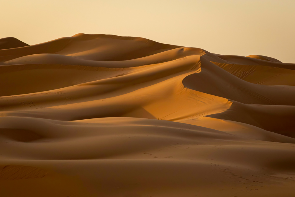
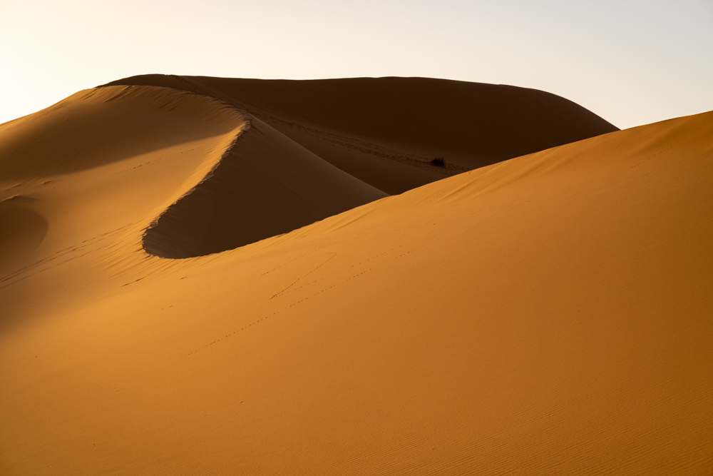
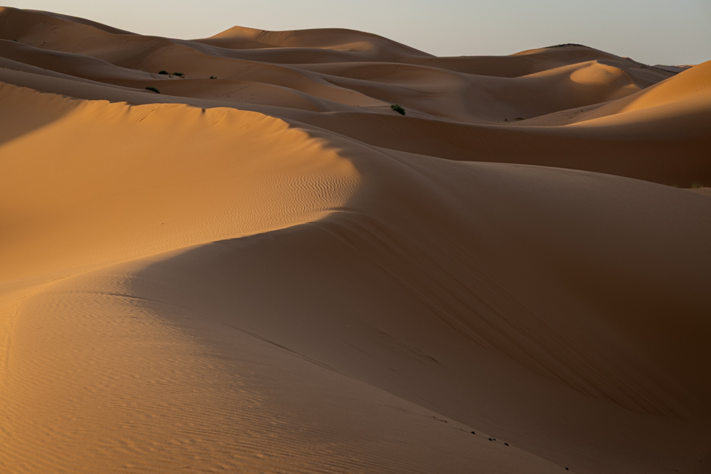
Saturday - 5 November 2022 - 
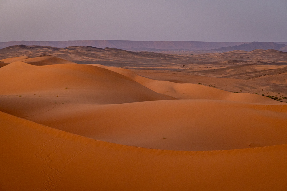
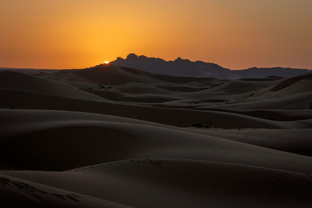
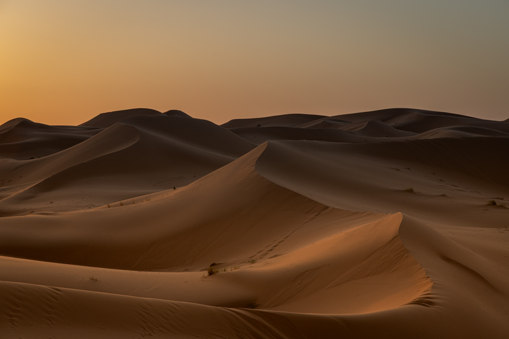
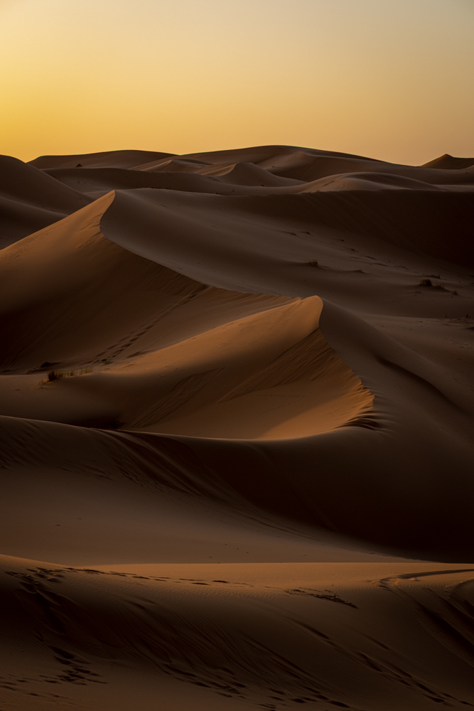
Day breaks over the Sahara - but well before that Cal set out to climb to the top of the same tall dune we watched sunset from the day before. It was a challenging climb as the sand is deep, but it did not take too long.

morocco2022
Along the way a good view of the camp and our tents - where Virginia Ann is enjoying the morning sun rise from our tent.
morocco2022
At the top of the big dune - same sand dunes but now the sun is on the other side.
morocco2022
Red sand in the early sun.
morocco2022
The sun peeks from around the distant mountains.
morocco2022
Sunlight just touching the sands.
morocco2022
Pretty shadows with the sun so low.
morocco2022
Like ocean waves.
morocco2022
Beautiful - and so peaceful.
morocco2022
As with sunset the shadows are very sharp.
morocco2022
Sunlight beginning to reach all the dunes.
morocco2022
The sun is up, and the dunes still look great - going to be a warm day.

We left the camp around 0900 and began a trip to Dades Gorge.
morocco2022
Along the way a mountain has the Amazigh symbol outlined in white.

The yaz symbolizes the "free man", which is the meaning of the word Amazigh.
morocco2022
In Tinghir we stopped to photograph homes dating back 200-300 years
morocco2022
A panoramic view of the old city

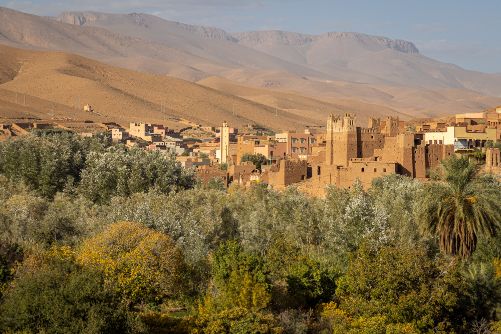
The predominant ethnic group is Amazighs (Berbers), and the city is at the center of one of the most attractive oases in southern Morocco. Lush palm trees cover about 30 miles on 550 - 1,600 yard-wide tracts along the Wadi Todgha.
morocco2022
The palm oasis, dense and widespread, is irrigated by a network of pipes and irrigation canals. Occasional heavy rains are absorbed in a few days.
morocco2022
Mountain colors as we travel into the High Atlas.
morocco2022
We stopped and walked into the Todgha Gorge.
morocco2022
A vendor was using this little donkey for transport.
morocco2022
The Todgha Rivers are responsible for carving out these deep cliff-sided canyons, on its final 25 miles through the mountains. The height of the canyon walls can vary, but in some places can be up to 1,312 feet high.
morocco2022
The town of Dades at the mouth of the canyon forming the Dades Gorge.
morocco2022
As we drove toward the Dades Gorge we passed several towns each with their own fort (casbah).

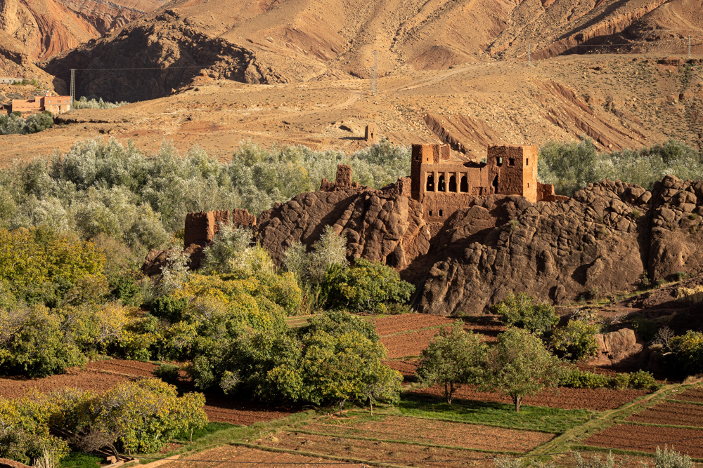
The casbah protected the town and trade routes.
morocco2022
This is an older casbah overlooking the river.
morocco2022
A town perched on the side of the Dades River.
morocco2022
White Poplar (also called Silver Poplar) in the canyon with very strange rocks climbing the cliffs.
morocco2022
White Poplar is closely related to the Aspen.
morocco2022
Another town another casbah.
morocco2022
Casbah ruins. It was fun to see so many forts along the road up the valley.
morocco2022
From the hotel patio we could watch some little boys playing soccer (football) in the main road through the gorge.
morocco2022
Dades Gorge from the hotel you can see the road winding up the canyon walls in the background.

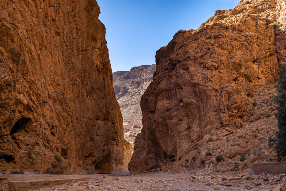
The Dades Gorge is a rugged wadi gorge carved out by the Dades River. The river originates in the High Atlas range of the Atlas mountains, flowing some 220 miles southwest before joining the Draa River at the edge of the Sahara. The many-colored walls of the gorges range anywhere from 650 to 1600 feet.


Top
Top