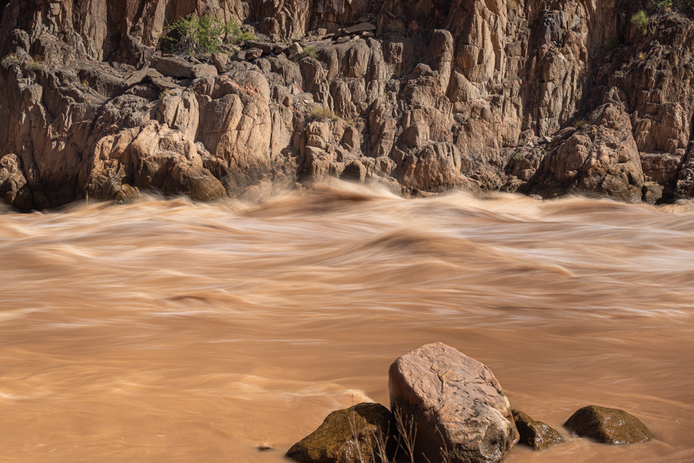
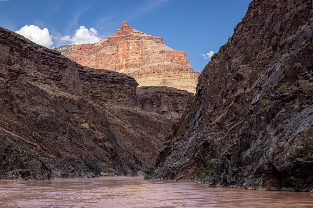
After breakfast, we did not float long before stopping at mile 94 to hike and take photographs of Granite
Rapid, which is a major rapid dropping 18 feet.
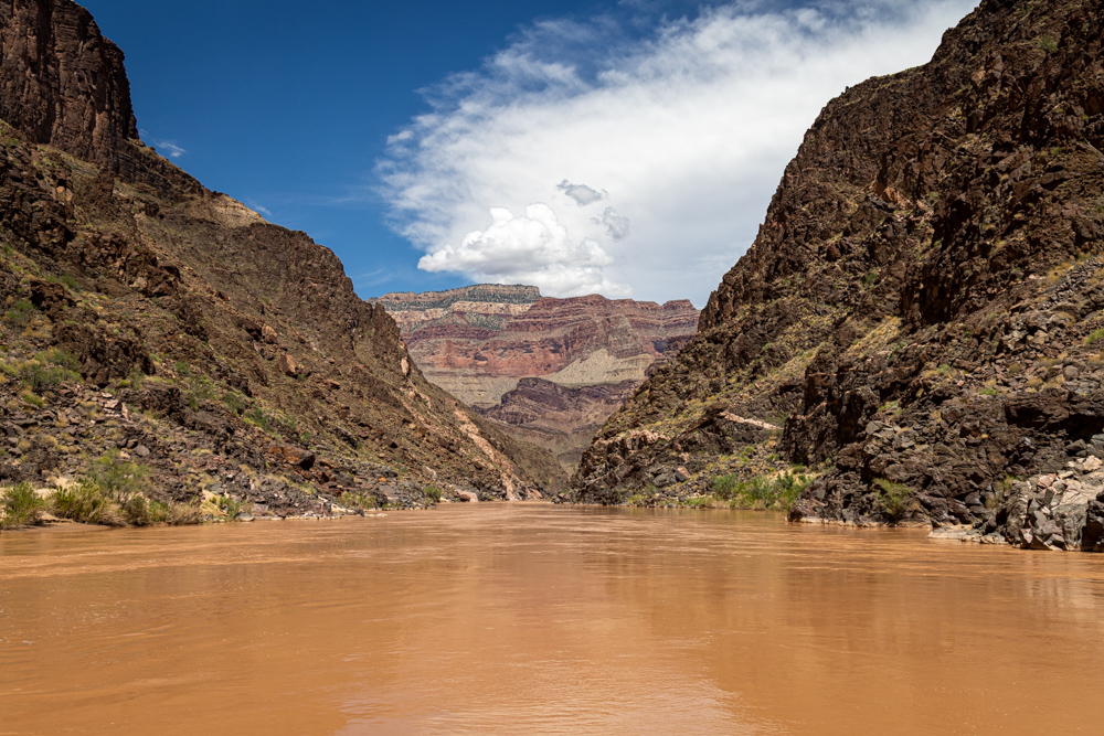
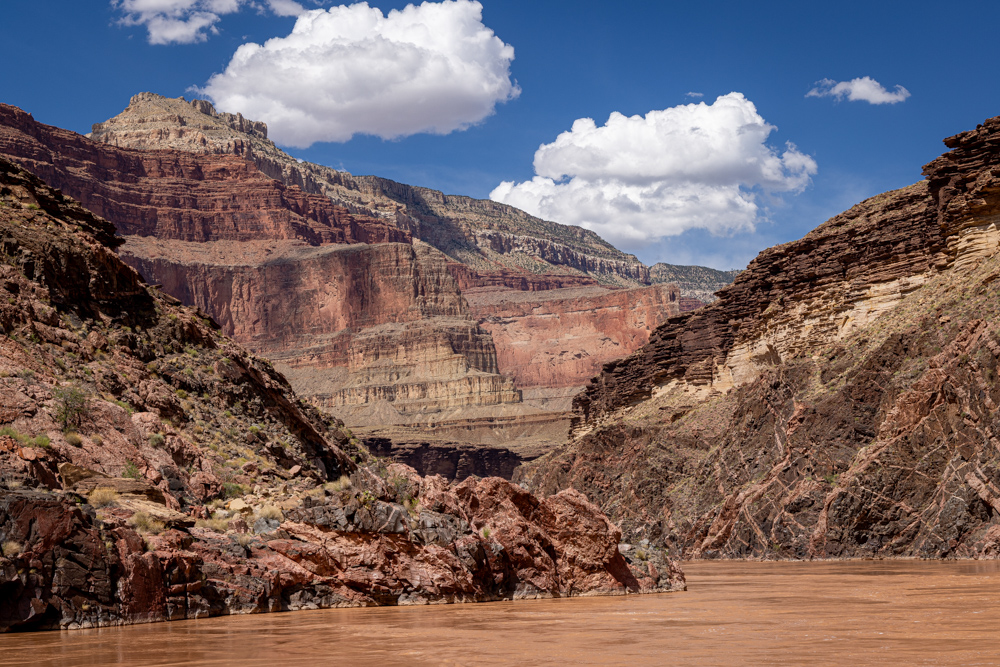
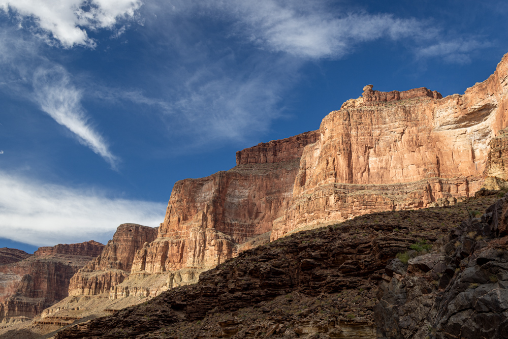
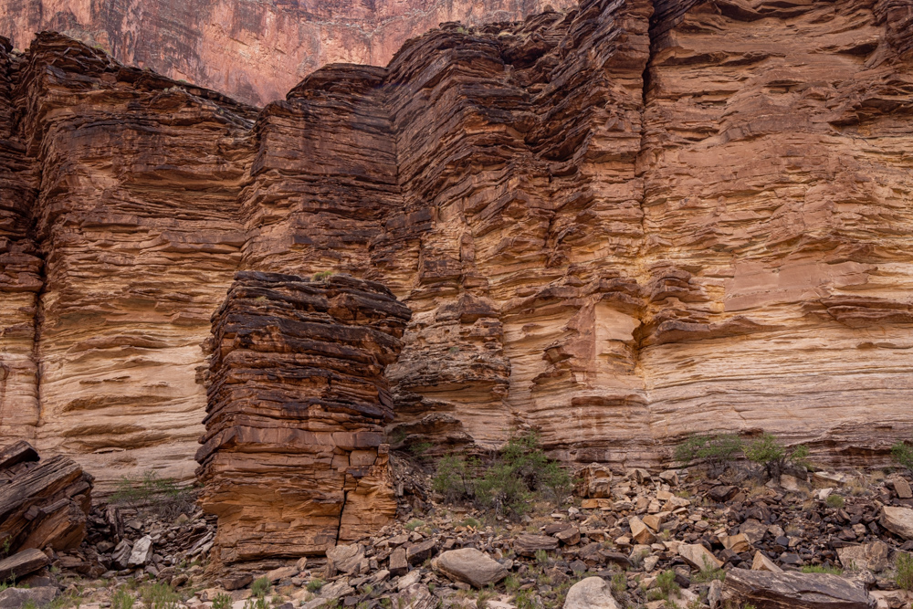
The granite walls are almost the same color as the muddy water.
Granite walls tower over the rapids.
The sun was not in the best position for taking pictures of the rapid - here is a shot directly into the sun.
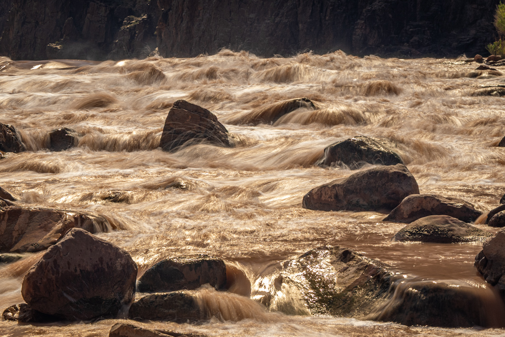
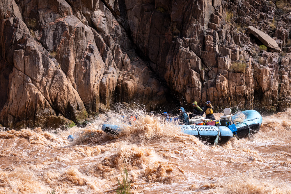
This is the part of the rapid no raft wants to go through.
While we were hiking back a raft the size of ours went through Granite Rapid.
After Granite Rapid there were constant rapids every mile or two until mile 107 - that is 13 miles of rapids.
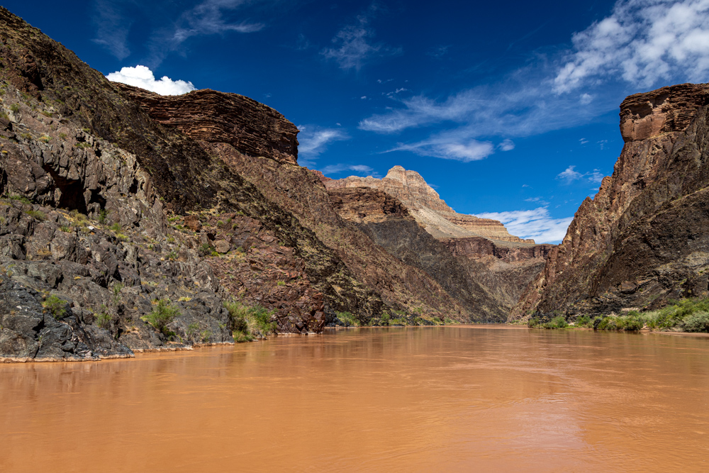
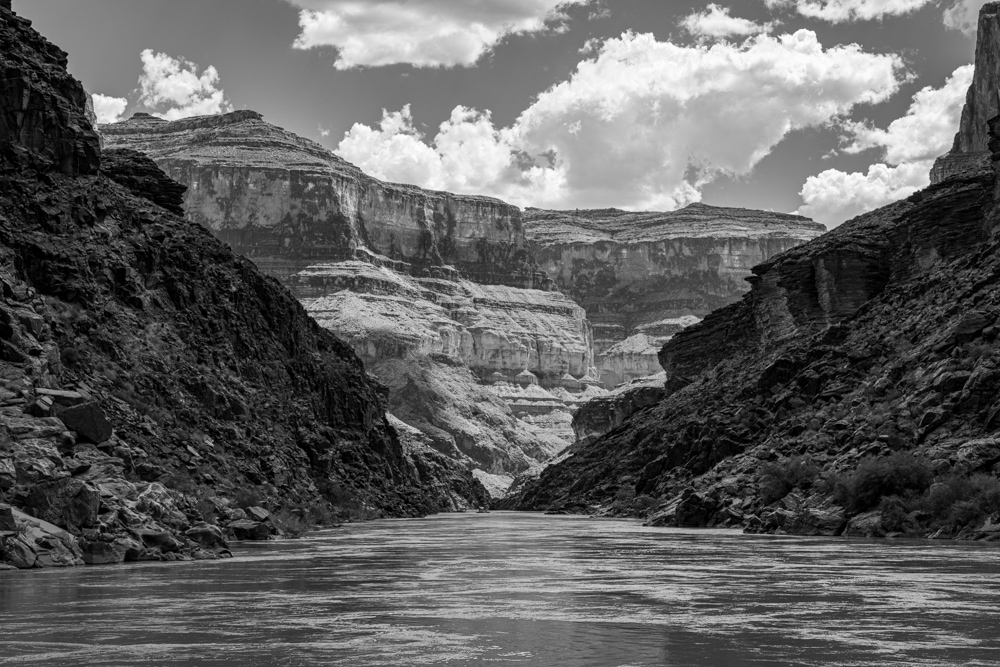
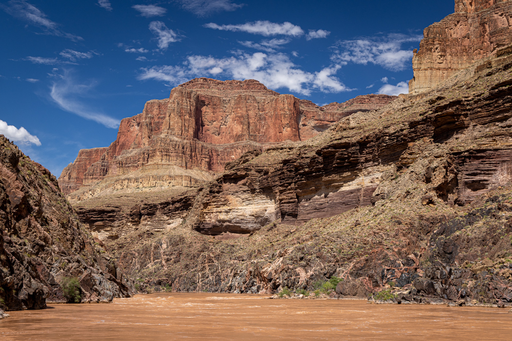
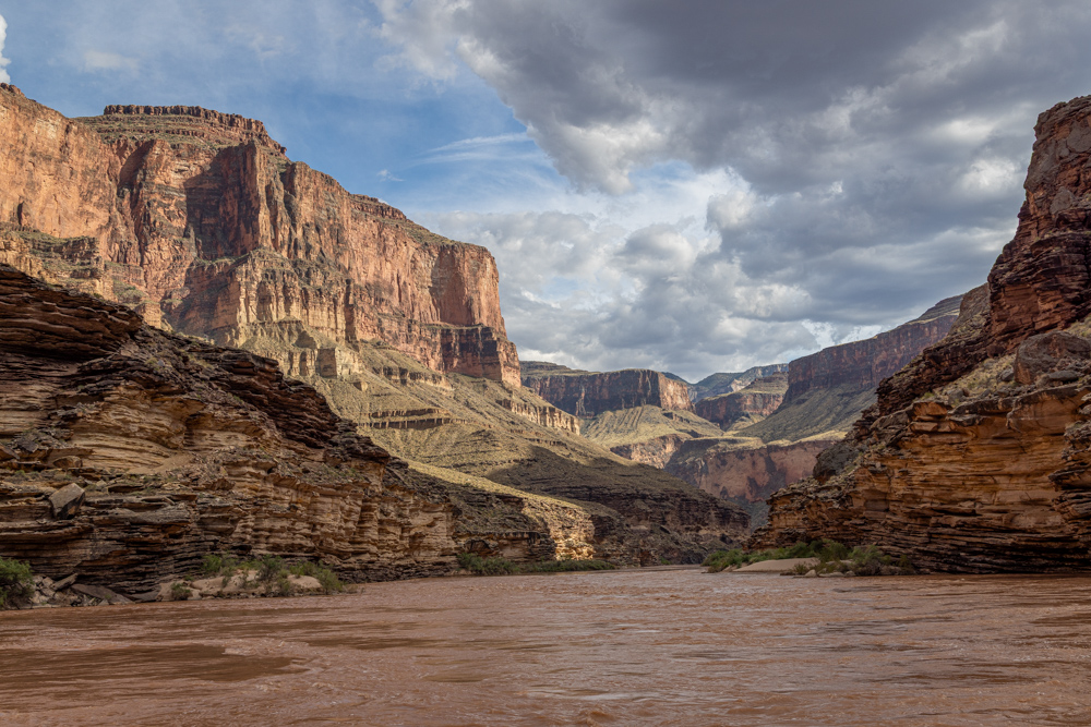
Finally, some flat water to take some pictures of the canyon.
Nice to have clouds roll in - maybe some shade in a few miles.
Our stop for a hike and lunch was at mile 108.5 - Shinumo Creek - a very small beach to dock the raft.
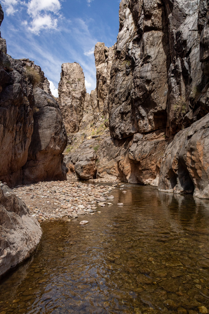
We then hiked a short way to the mouth of the creek and walked up the creek to a falls. This is Shinumo Creek and
right around the bend to the left is a small waterfall.
Shinumo Falls? Probably not named but a beautiful waterfall against the brilliant rocks.
It looked like you could climb up into the falls and keep exploring the canyon carved
by the creek.
On the way back to the raft (and lunch) I noticed these river rocks on the cliff side.
Imagine the level of water and force
from Shinumo Creek to place the stones so high.
Not sure of the Grand Canyon names for the high peaks we often saw from the river. Only when the cliffs
lower near the river that you can see the higher walls.
A black and white view down the river.
Big red cliffs right and left.
Depending on the sun position and our position I often took photographs off the back of the raft. The
views had one turning every direction as to not miss a picture.
The bands of rock forced from horizontal to vertical by unbelievable forces.
Interesting rock in thin layers along the river.
On a sandy patch of foliage we spotted a Bighorn Sheep, much excitement.
The photographers - odd he just stood there while we were all making such a fuss.
Big buttes of red rock.
We stopped at mile 117 to explore Elves Chasm which was only accessible by a tough - but short - hike.
I fell here and suffered a few scrapes.
The stream, Royal Arch Creek trickles through this rock canyon.
Back on the river.
Looking back toward Elves Chasm - at the base of those huge cliffs.
Unique rocks - you wounder how they remain wile all the other rocks toppled into the canyon.
Some clouds moving in - near the end of the day.
A rock has fallen off the cliff and is standing straight up.
A view from our camp at mile 119.8 called 119.8 Mile Right (creative).
We had Mexican night with Tacos - very good. I had a nice quiet camp in the trees.