Our first night - no tents as they are hot with no breeze. In the middle of the night we had a light shower.
Just pulled our tarps over and waited it out.
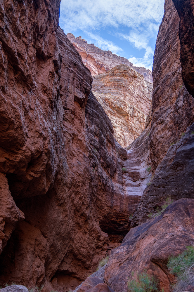
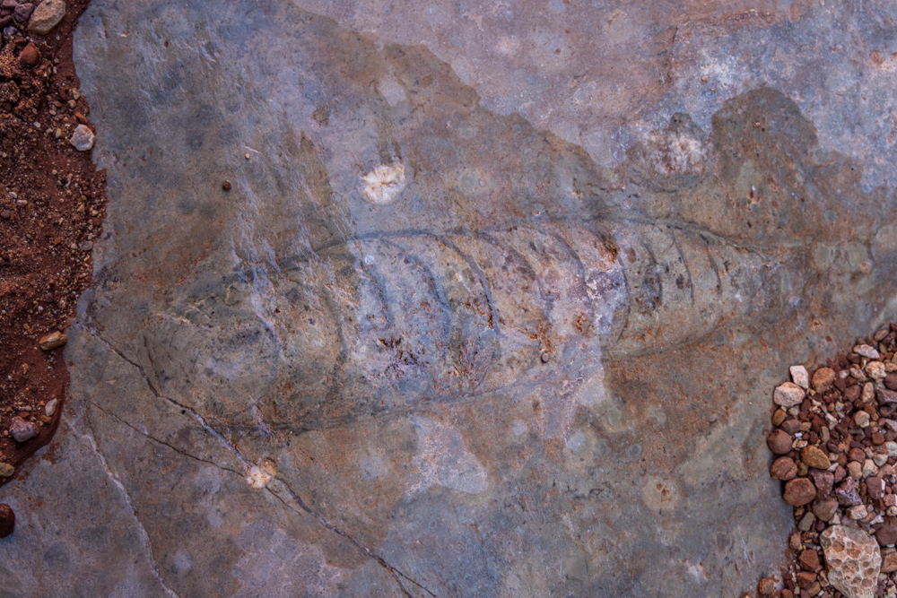
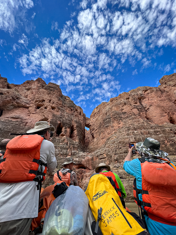
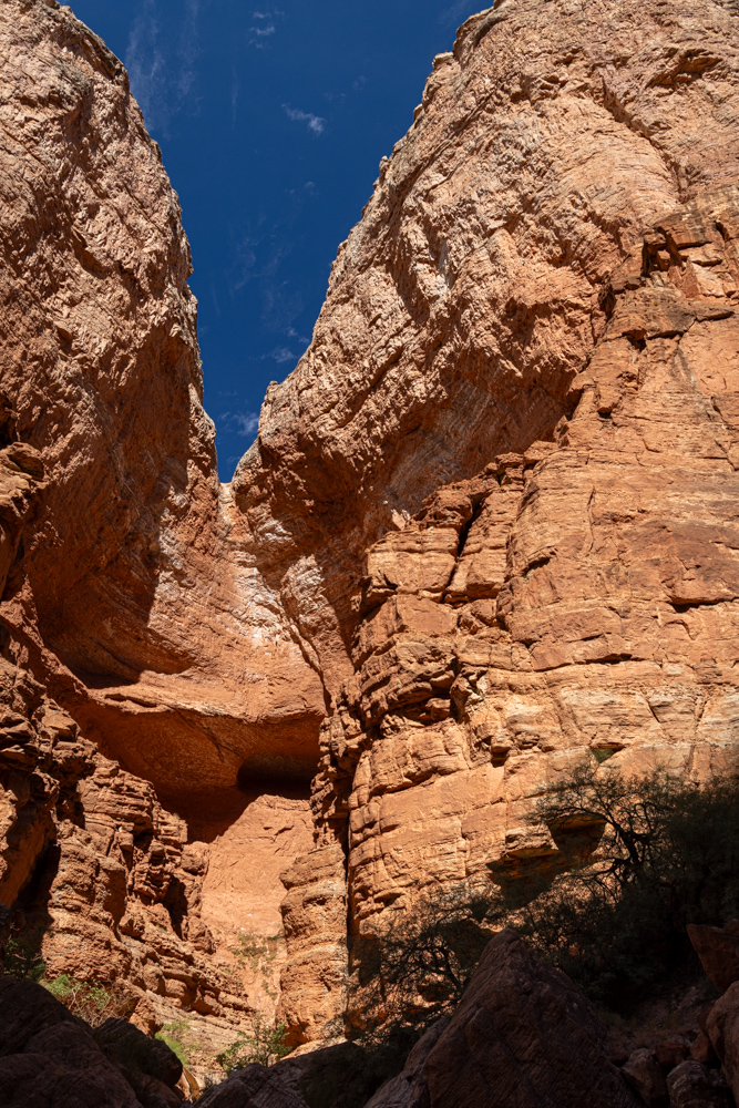
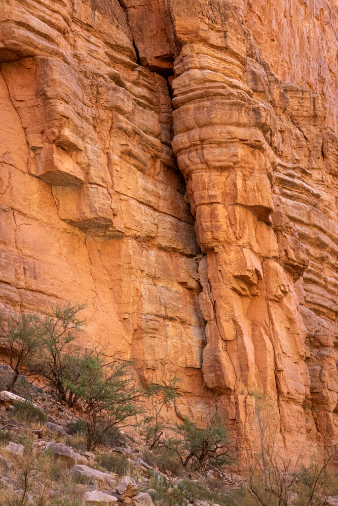
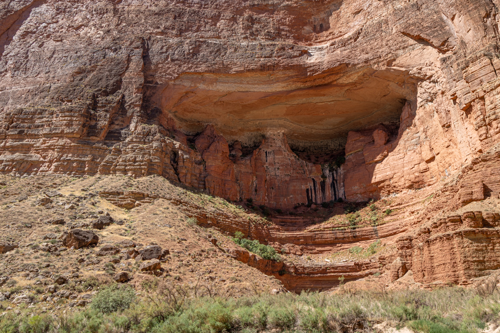
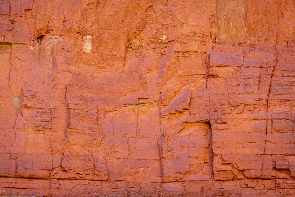
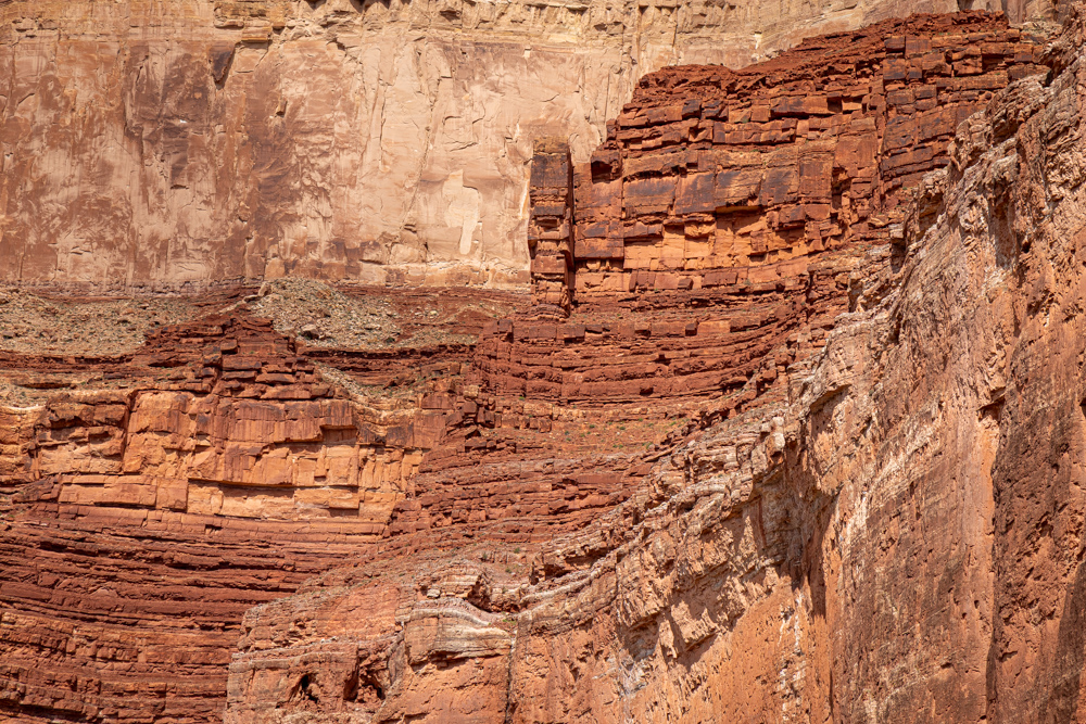
In the morning we woke and hiked into Nautiloid Canyon. Looking up the canyon, you can see where
the water has carved into the stone.
The namesake for the canyon is the conically shaped nautiloids that ranged the world's oceans several
hundred million years ago. The fossils are the remnants of
distant relatives of the modern-day chambered nautilus, squid, and octopus
Monsoon water gathered in pools in the canyon reflecting the walls on the opposite side of the Colorado River.
The view from our camp. We made camp just to the left on the sand.
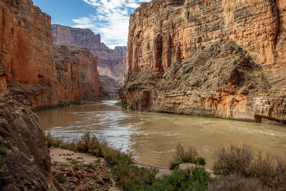
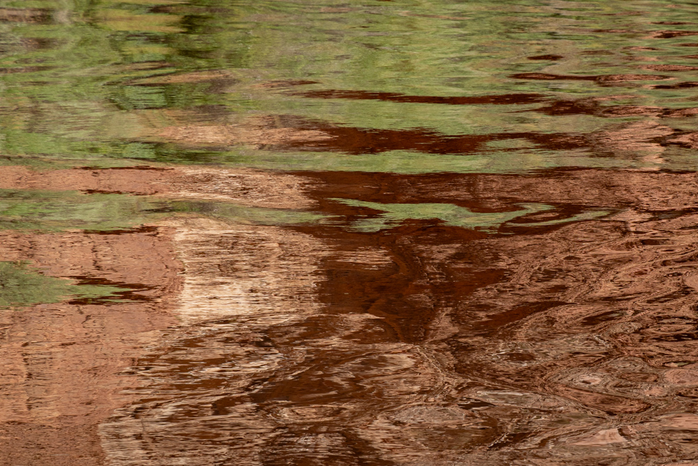
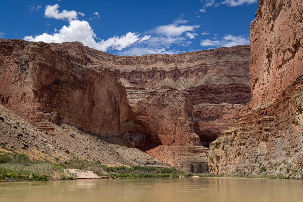
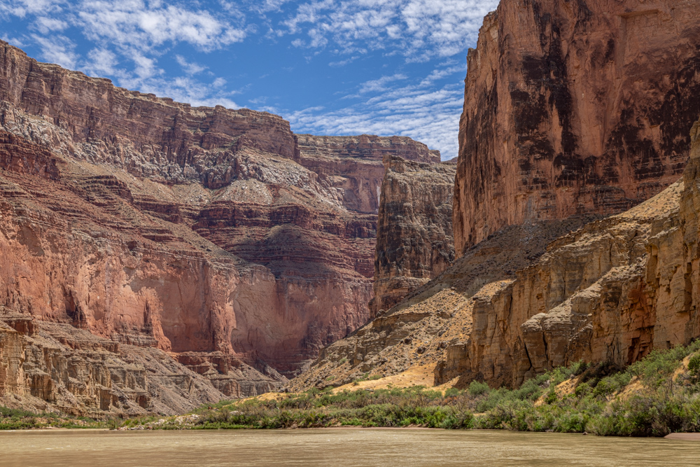
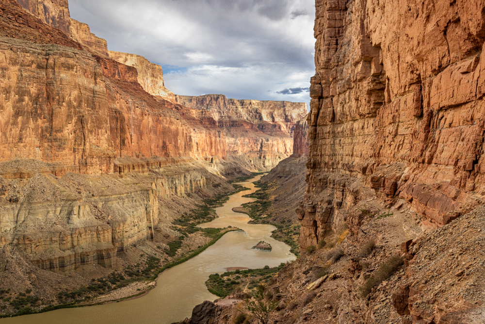
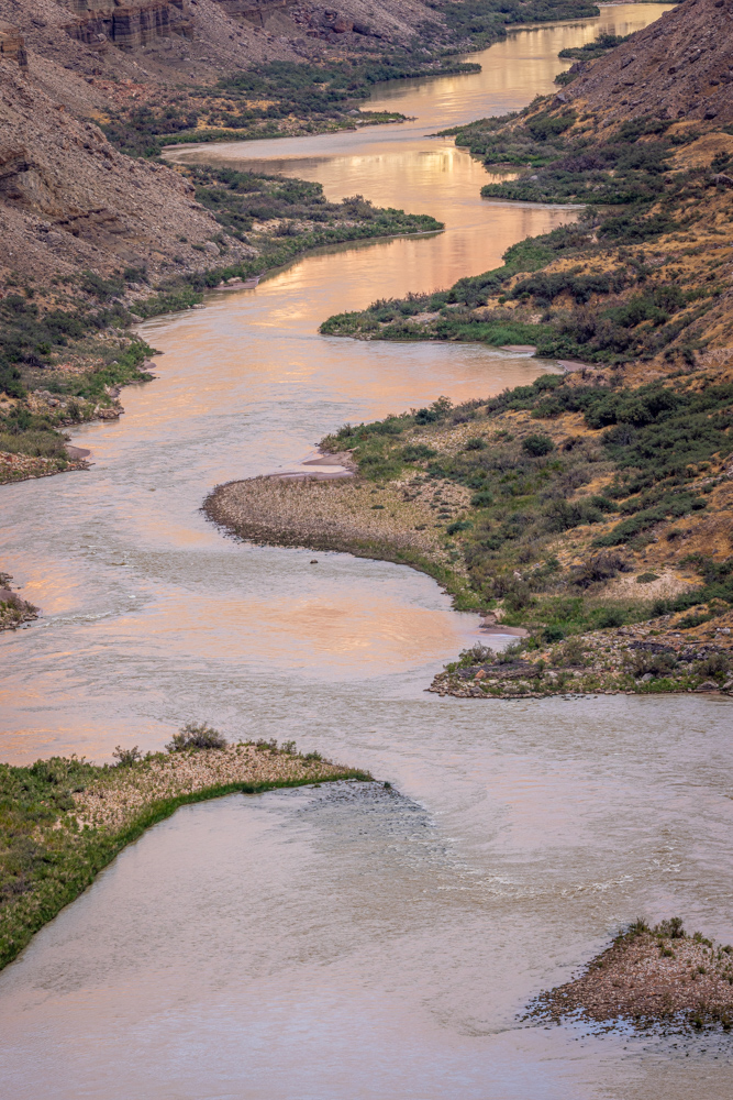
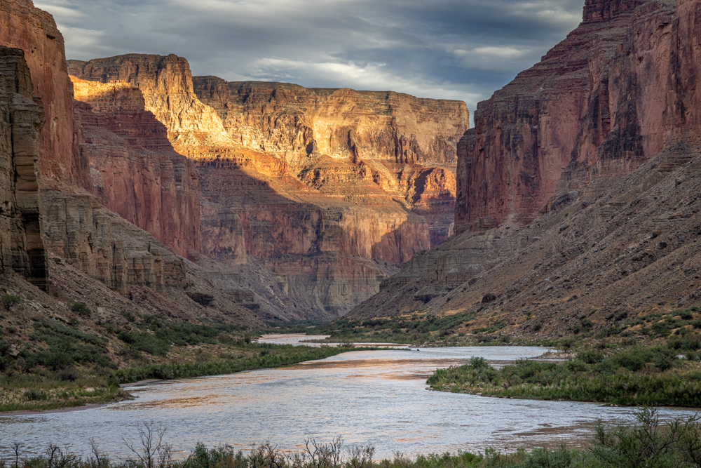
Looking downriver in Marble Canyon.
The view down river as the sun rises.
Shortly after pushing off, at mile 36, we passed the geological formation called the Bridge of Sighs. Clever
naming
but not quite the same as the namesake in Venice.
Here is the boat taking pictures of the Bridge of Sighs. A little crowded.
It was very calm from mile 39 to mile 43 so an opportunity to take pictures.
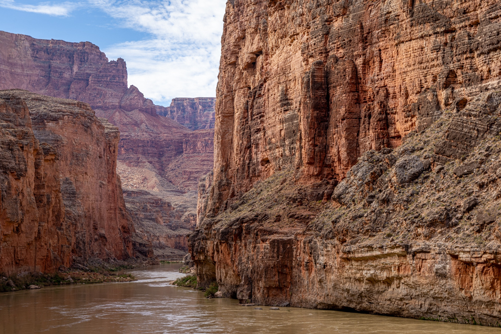
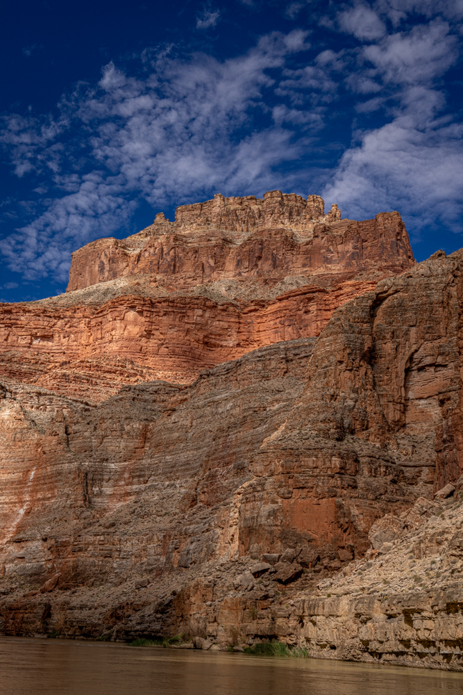
Beautiful tall walls on either side.
The light was different as the river changed directions big in "S" curves which were hard to perceive
on the raft.
Calm water provided nice reflections of the canyon walls.
I was intrigued by the cuts in the canyon walls by the streams coming down from the plateaus above.
The rocks are so beautiful.
We were in an area so calm that the raft guides allowed anyone who wanted to take a swim in the river.
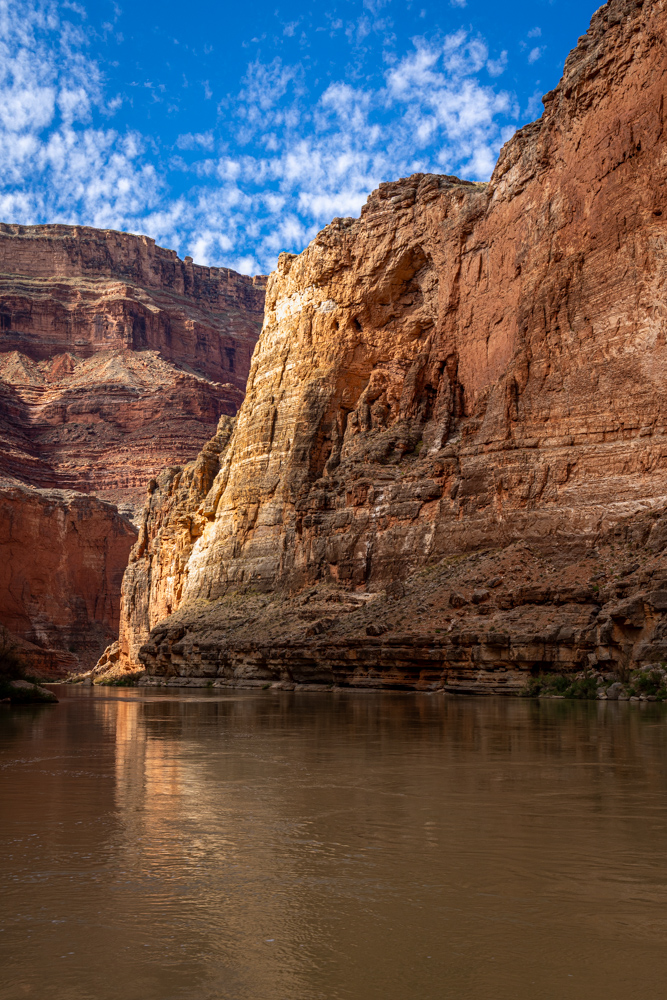
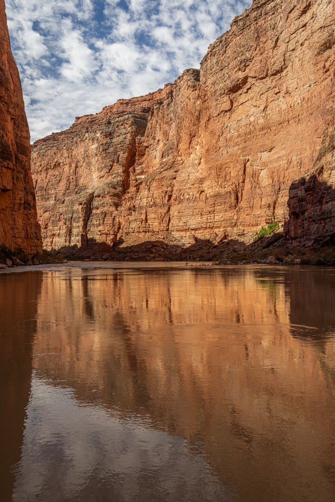
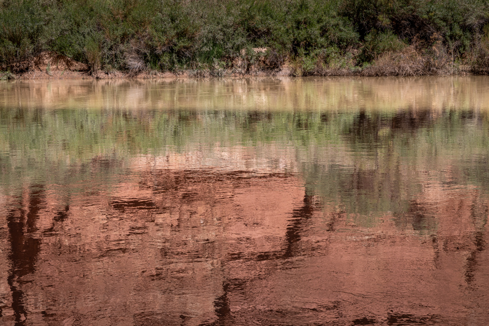
Also calm enough that there were some nice reflections.
We scared a group of ducks with pretty green feathers on their backs.
An abstract reflection.
A huge cavern carved by water flowing over the top - maybe a natural bridge in a few million years.
Close up of the canyon red rock.
At mile 43 are the remnants of an ancient Anasazi Bridge
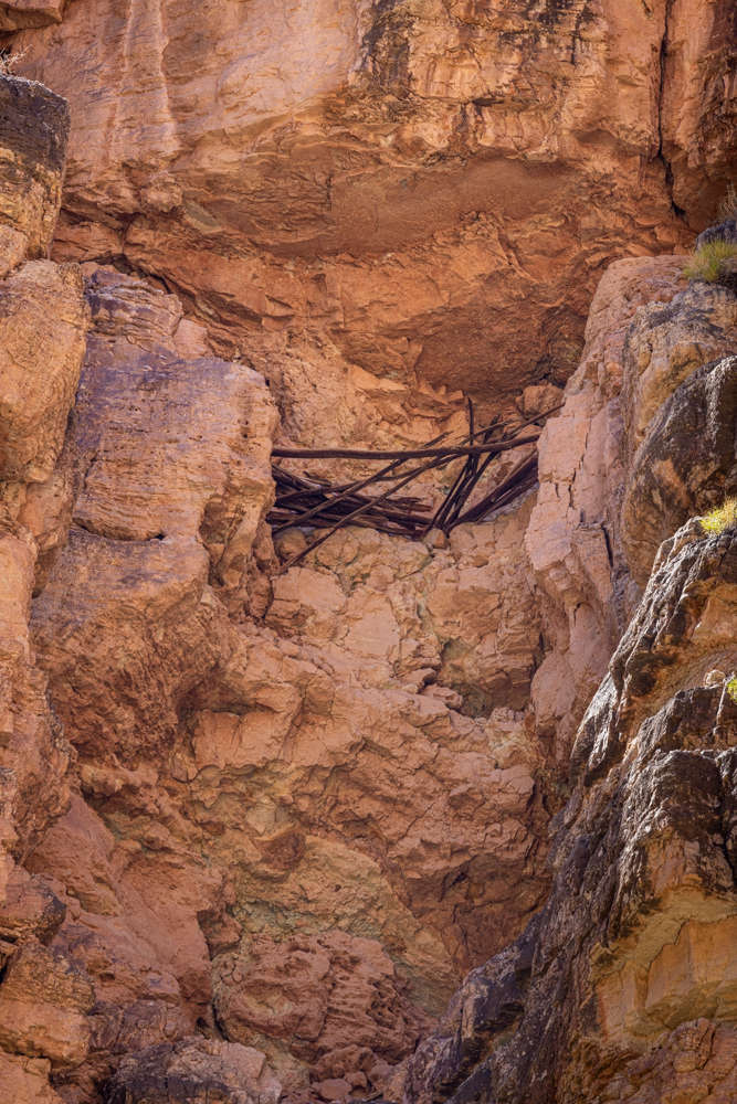
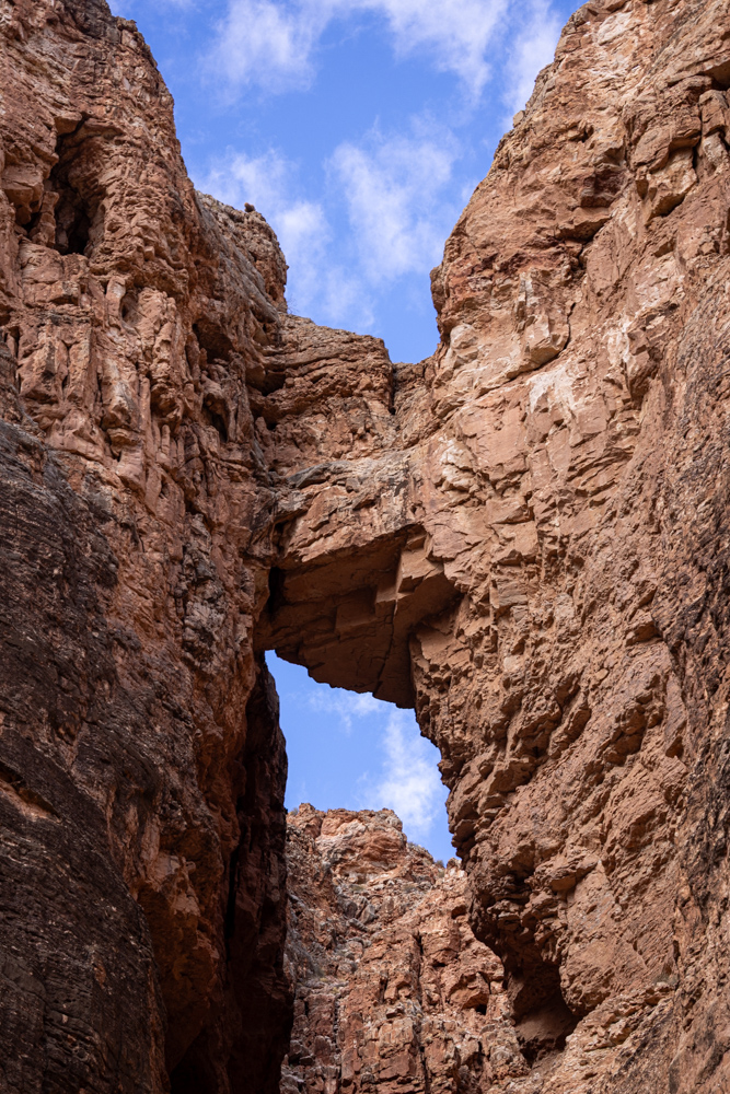
Spanning a gap in the cliffs 300 feet above the river,
this prehistoric bridge made from pine trees, helped people from the
Ancestral Puebloan Culture hike in and out on the canyon's north side.
Very interesting in what the water has carved into the cliffs around mile 47. This is a formation called the
Triple Alcove
I was only able to take a picture of two alcoves before rapids mandated that the camera be put away.
The cliffs on the north side now rise over 8,000 feet above us.
Cliffs around mile 52 as we approached our second night camp.
We camped at mile 53 in Nankoweap Canyon in the Lower Nankoweap campground. Two creeks come together here,
creating a broad
sandy area which the Anasazi used to access the river.
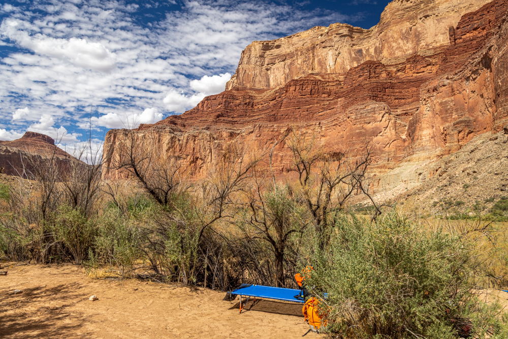
My camp is the blue cot with my orange dry bag next to the cot.
Rocks across the river from our camp.
We took time in the afternoon to bathe and relax - still very hot (100 degrees), so shade was
critical. This was the only time we had free time allowing me to use a solar shower to take a
bath.
We waited for the sun to drop allowing for a cooler hike up a steep trail (700 feet vertical) to reach
the Nankoweap Granary. It is a series of stone and mortar storage bins situated high up in the cliffs.
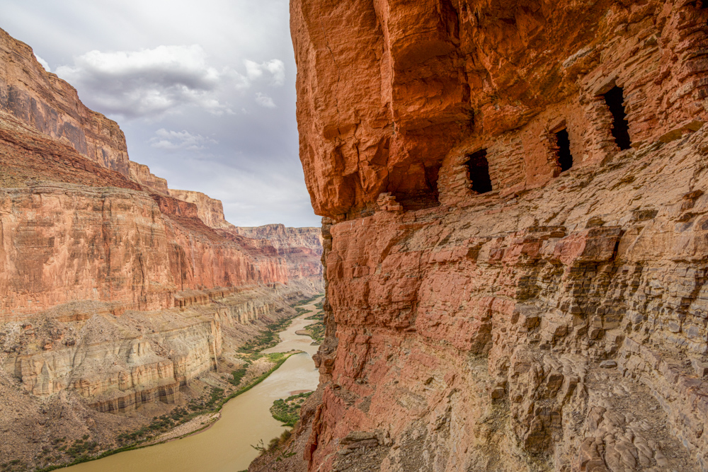
These bins were constructed by the ancient Anasazi people to
store their seed stock and food. The placement and design of these bins protected the seeds from animals
and the weather. The Anasazi were thought to have lived in this area from about 700 to 1200AD.
We were way above the Colorado River so beautiful pictures of Marble Canyon and the river which cut through
the rock - amazing.
The Colorado River reflecting the canyon walls.
On the trail to camp - just could not stop taking pictures of the beautiful vistas as the sun set.
Sunset over the canyon walls.
Great dinner and quiet night - I still did not sleep well.