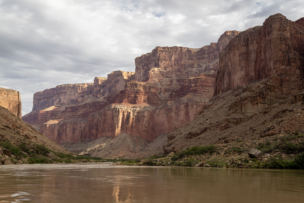
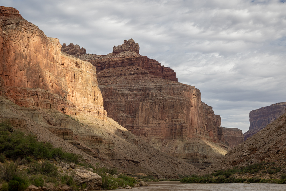
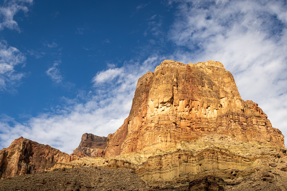
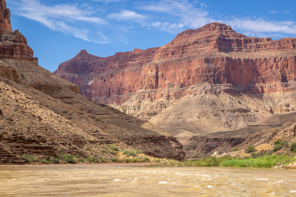
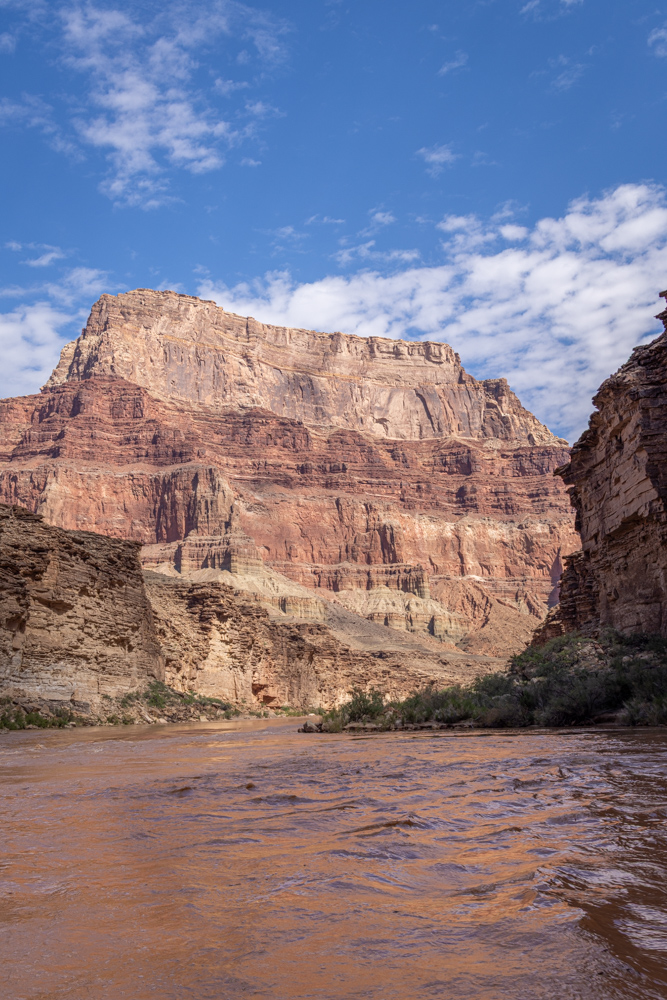
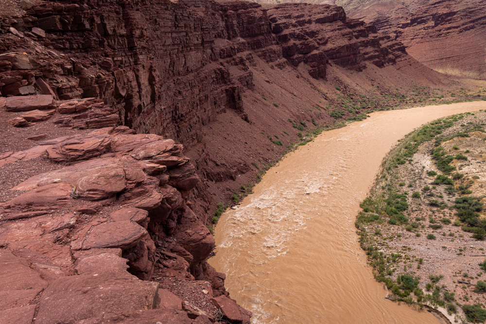
Up and on the river - the sun is still low, however, it is starting to hit the canyon walls.
The clouds create interesting light on the canyon walls.
A black and white of the towering canyon walls.
On many of these views it was hard to tell if we would go right or left and the next butte. In this case the
Little
Colorado River is coming in from the left, and the Colorado River will turn to the right.
Tall cliff towering over the intersection of the Little Colorado and the Colorado River.
The layers of time in sediment bent by pressure millions of years ago.
The confluence of the Little Colorado River on the left and the Colorado River on the right.
This is mile 62 and the Colorado River
is getting more monsoon mud. It was tan, from now on it will be brown.
Interesting water mixing at the confluence, the water seemed to be mixing with the Colorado River flowing
below the Little Colorado River and bubbling up through the muddy water.
The cliffs to the North of the confluence.
This rock formation was in several places - river rock embedded in another stone-like concrete. Maybe
limestone - very interesting.
I disturbed a tiny lizard who paused for a picture before escaping into the bushes.
Some small rapids before us - I was still able to keep camera out to capture the red rocks.
Shortly after the confluence with the Little Colorado River (mile 63-64) is salt which has seeped through the
rock and solidifies on the canyon wall.
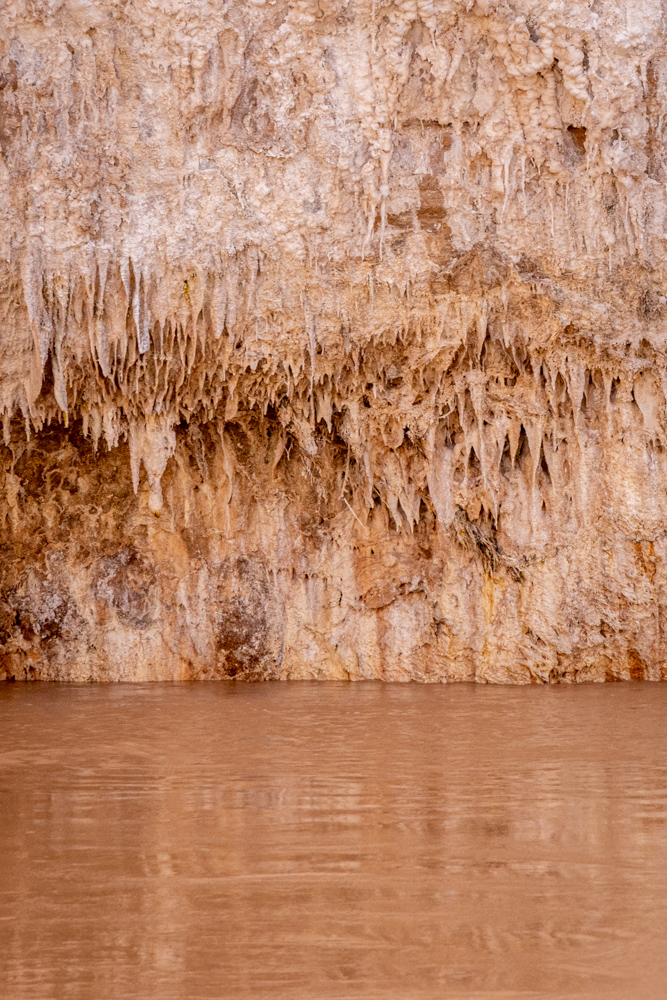
The area is sacred to the Hopi, so we cannot stop and touch or take any salt (not that it was a priority).
The view looking back upriver at the canyon walls.
Our first Mountain Bighorn Sheep sighting very high on a cliff over us.
Our raft tried to stand as still as possible in the current for everyone to get a picture of the Bighorn.
For lunch, we stopped at mile 72. Before lunch, we hiked up the canyon walls to a single Anasazi ruin. Beautiful
view from the structure.
Looking upstream on the Colorado River. Our raft is docked near the bottom left of the picture.
The Anasazi ruin, which is about 1200 years old overlooking the Colorado River.
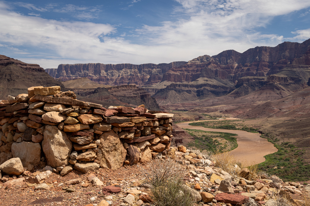
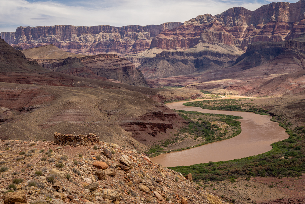
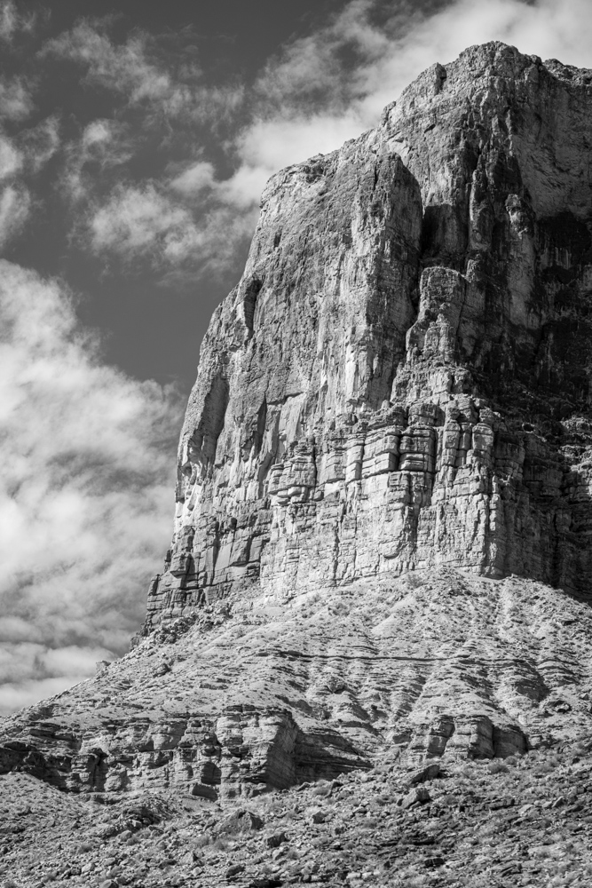
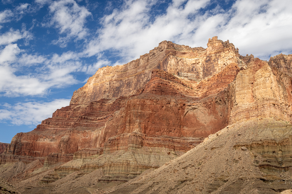
Not really sure what the function of a structure would be way up here - sentry?
The northern canyon wall which is above Unkar Creek.
We also hiked to an overlook of the Unkar Rapids - which we would run after lunch.
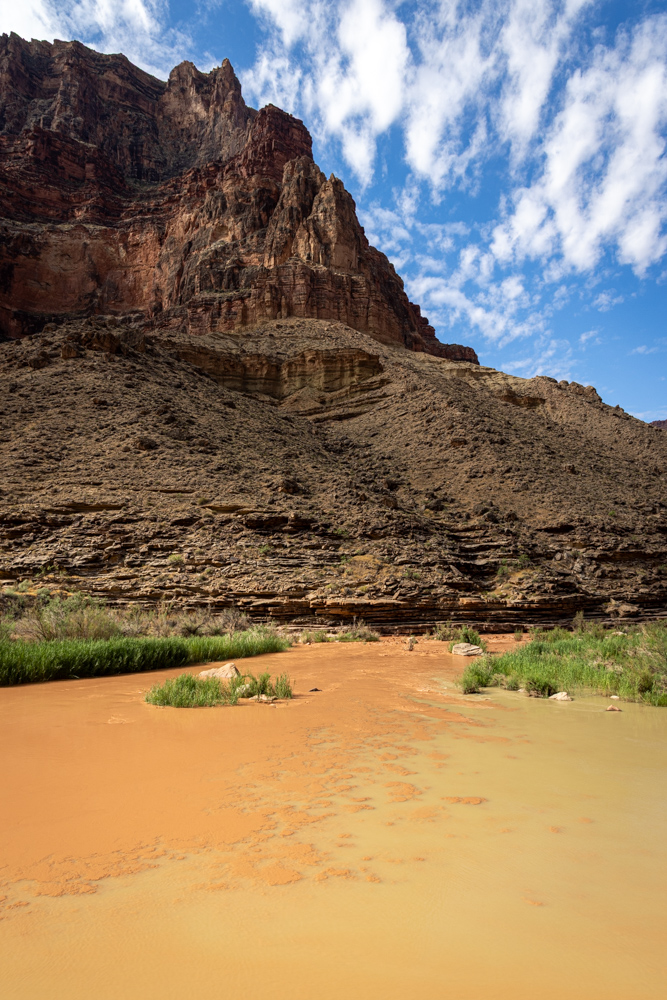
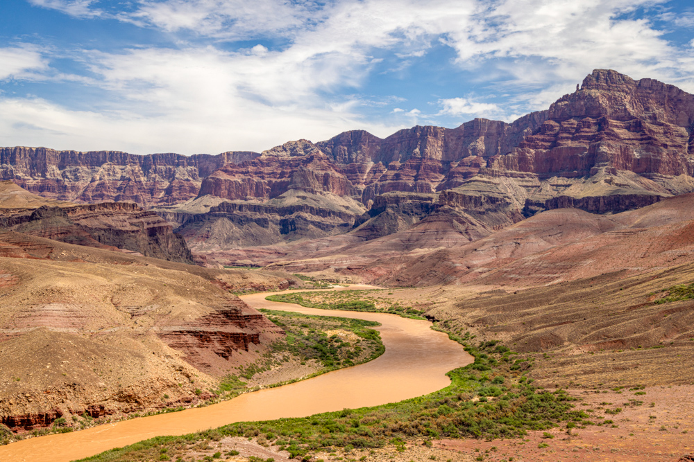
On the right is the Unkar Delta
where there are several ruins of Anasazi habitation.
In 2011, I visited the Grand Canyon for 24 hours and photographed the
Unkar Delta.
Back on the river I spotted several trees growing right on the cliffs. We were told that prior to the dam,
flooding
would strip the foliage from the bottom of the canyon regularly. Now there are few floods
so the trees and bushes have thrived.
Now deep in the Grand Canyon, Vishnu Schist (black) and Zoroaster Granite (pink) are mixed and create
interesting patterns.
Imagine the pressure which forced these rocks together. These pretty rock formations are about mile 78.
At mile 88 we see the Kaibab Suspension Bridge, which connects the Kaibab trail on the south side (7 mile to rim)
to the North Kaibab Trail
on the north side (14 miles to the rim), was built in 1928. Phantom Ranch is about a mile in on the north side.
Not far is a second bridge - Bright Angel Suspension Bridge which is on Bright Angle trail on the south
side (9 miles to the rim) and ends on the north side with a trial to Phantom Ranch. It was built
in 1970.
The very high north rim of the Grand Canyon.
We camped at 91 Mile Creek. Several creeks and rapids are named after their mile number from Lee's Ferry - not
very creative. The camp was pretty small.
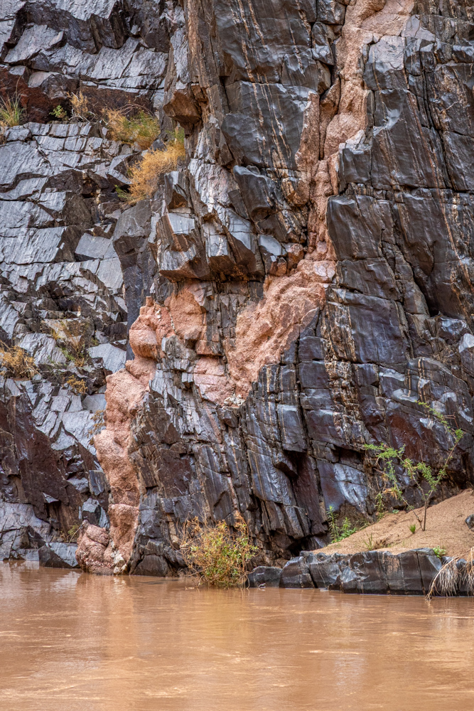
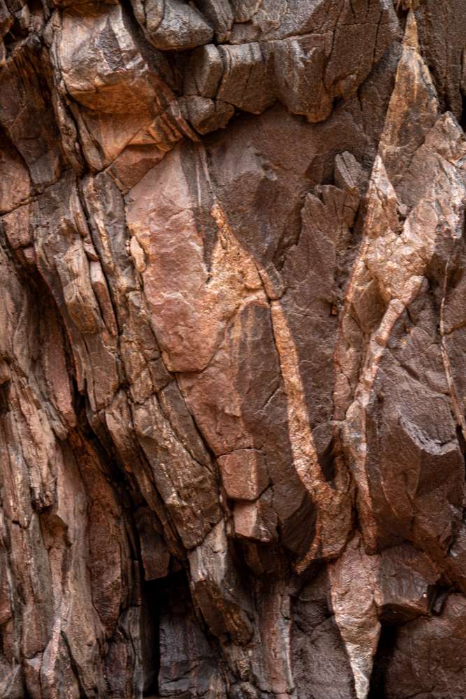
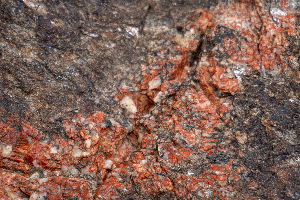
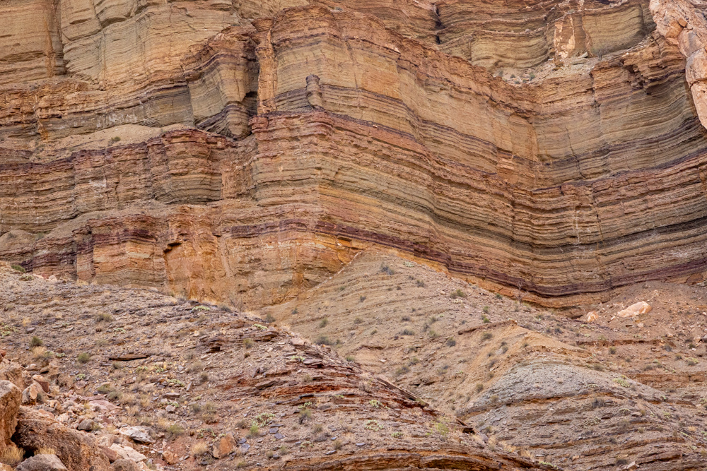
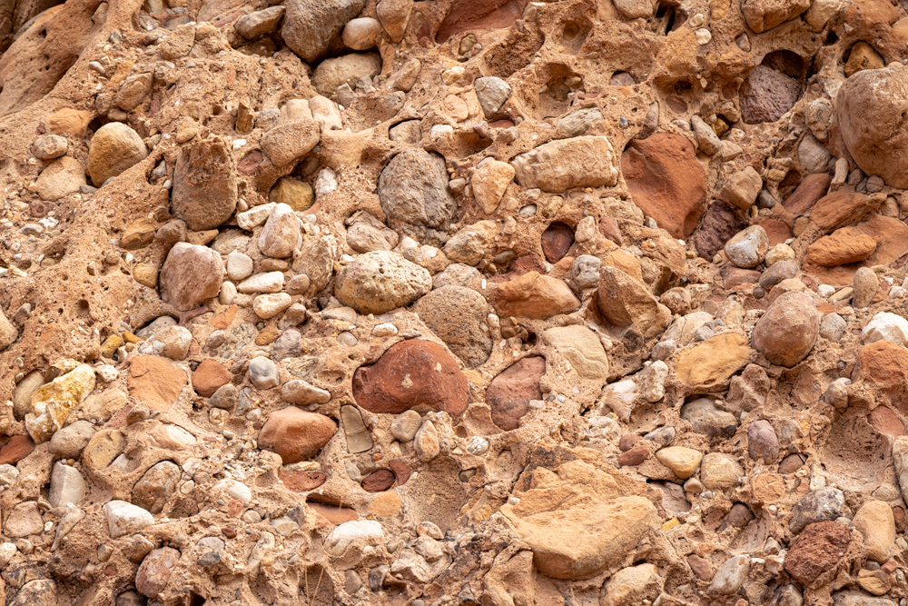
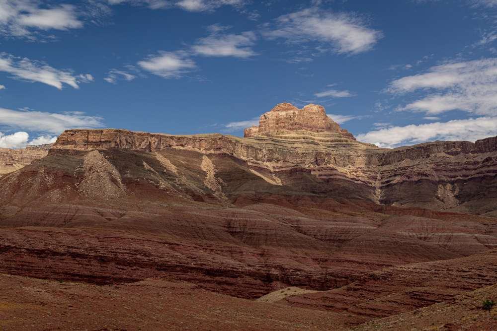
The camp was at the entrance to a canyon created by 91 Mile creek, and I wandered up the creek before
dinner. Here you can see up close the mix of Vishnu Schist (black) and Zoroaster Granite (pink).
A small hedgehog cactus in front of Vishnu Schist.
Pleasant night. We had steak for dinner - I had two steaks.