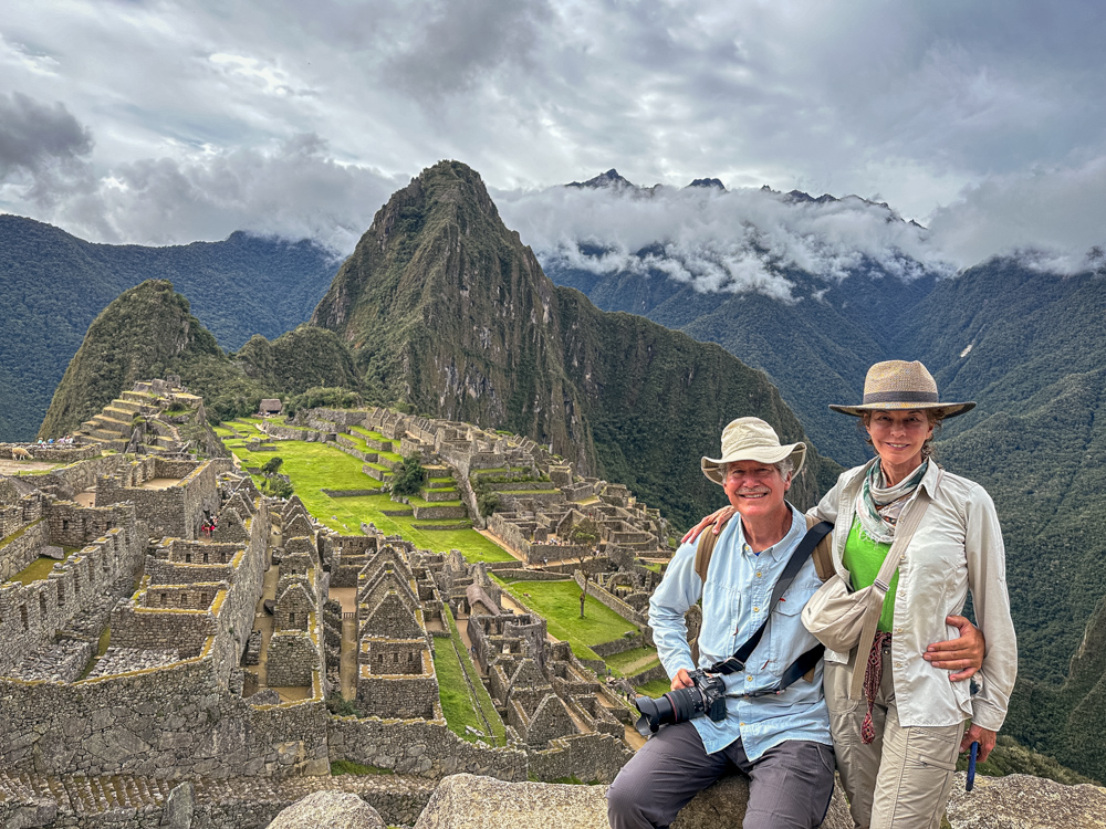
Saturday - 13 April 2024 - Today would be a long one - up early to check out and head toward Machu Picchu.
First we would drive to Ollantaytambo where we walked through the town. As seen here, the town is built on top of the
old Inca city. Many of the current shops and homes incorporate the old Inca walls. The walls on both sides of this
street are Inca built.
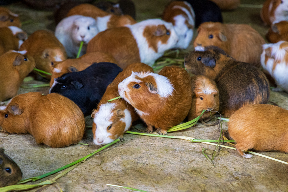
The young girl is taking alfalfa to her 100 or so Cuys.
This is a unique Inca doorway - a typical trapezoid narrower at the top - but this one has a second doorway.
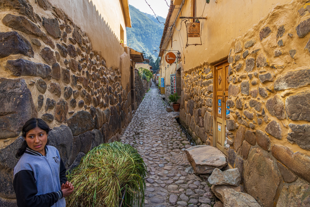
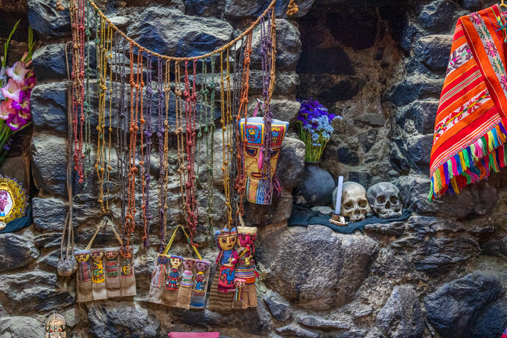
Cool to see a business using a door from the 1400s.
Our guide took us to a local home which was an Inca room. In the room the man lived with his Cuy. There were a couple of
other rooms around a small courtyard.
Virginia Ann feeding the Cuy.
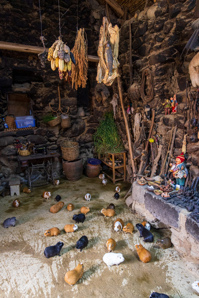
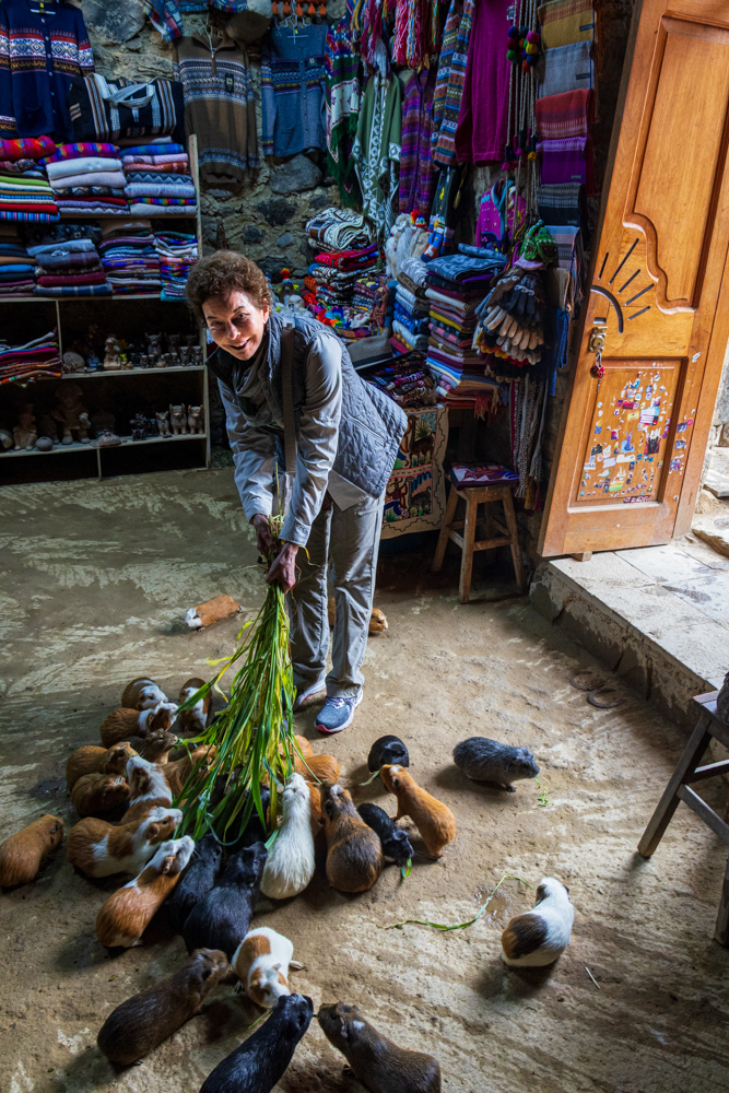
Cal feeding the little Cuy.
Up close with the Cuy - so cute, not sure how they can eat them.
The niches were filled with skulls. Our guide said they were the relatives of the man living there.
From the town we walked to the Ollantaytambo Archaeological Site.
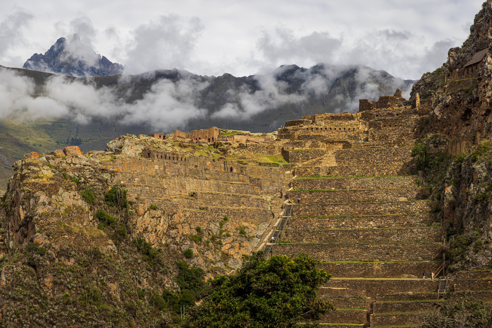
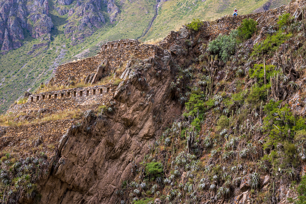
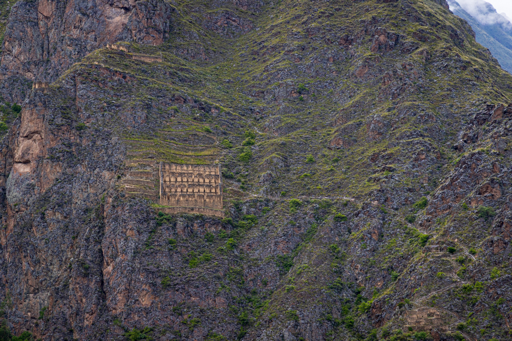
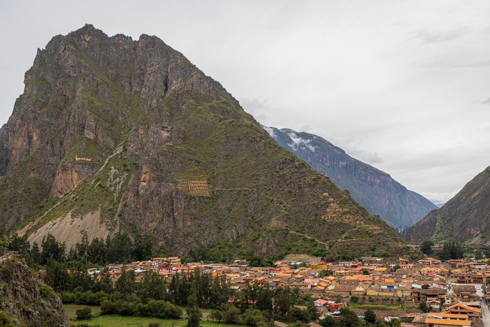
During the Inca Empire, Ollantaytambo
was the royal estate of Emperor Pachacuti, who conquered the region and built the town and a ceremonial center. At
the time of the Spanish conquest, it served as a stronghold for Manco Inca Yupanqui, leader of the Inca resistance.
In 1536, on the plain of Mascabamba, near Ollantaytambo, Manco Inca defeated a Spanish expedition in what is known as
Battle of Ollantaytambo, blocking their advance from a set of terraces and fortifications built into the hillside.
Unbelievable rock work where carving allowed the rocks to fit precisely with each other.
A hallway with niches leading to a doorway - in the typical trapezoid, used for strength.
Cal and Virginia Ann at the doorway.
Across the valley there are huge grain storage bins with trails connecting them to the valley floor and then on up to
additional structures.
Carving on a rock wall - it is not inlay so the rest of the rock had to be chipped away to create the design.
Unusual rocks between boulders - maybe used to tie sections of the wall together?
From the top of the Ollantaytambo Archaeological Site looking across Ollantaytambo city. To the right is the Sacred
Valley and to the left is the Patacancha River valley.
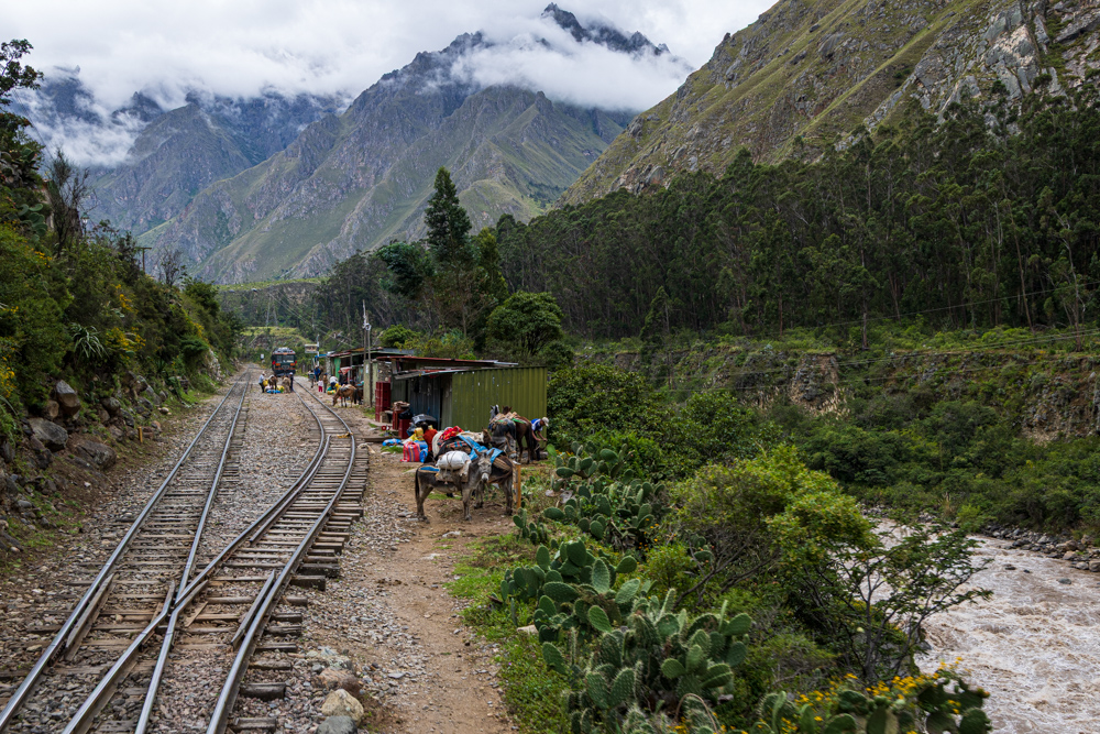
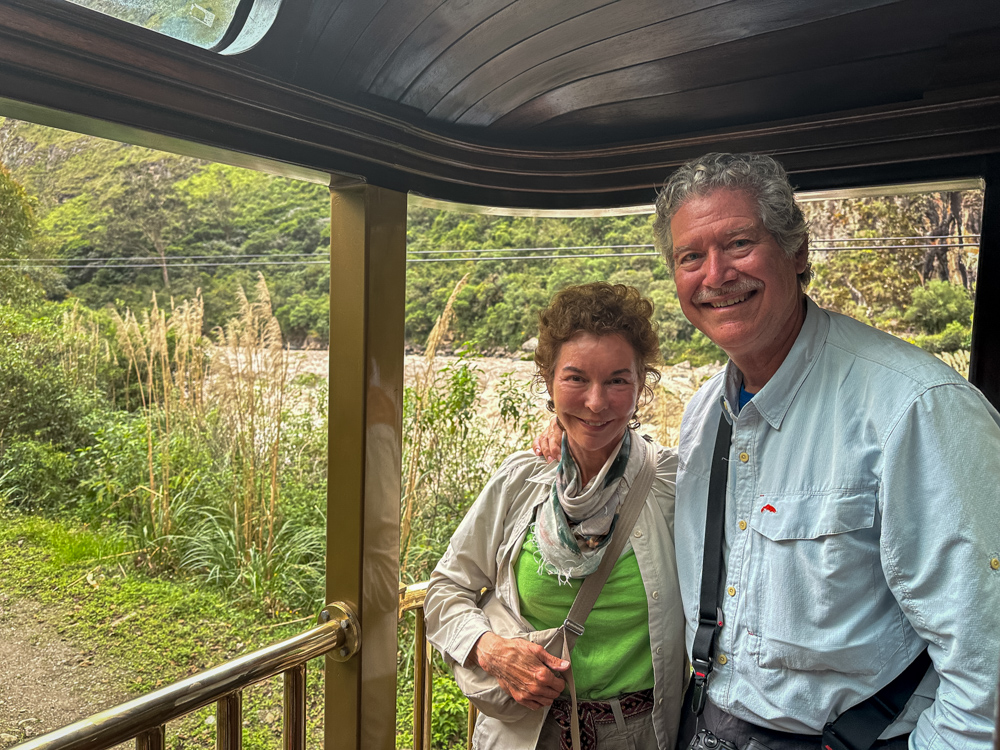
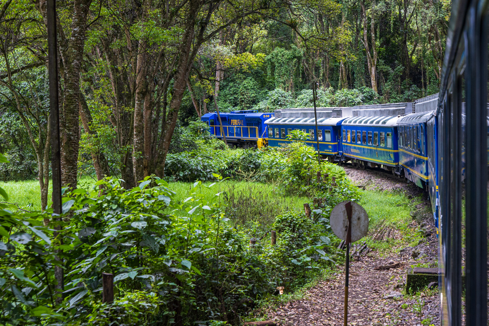
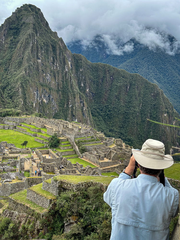
From here we traveled a short way to the train
station to catch the train to Machu Picchu.
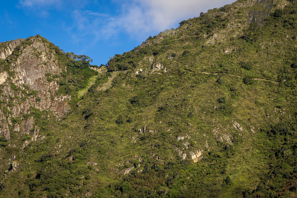
It is from this town that the four-day Inca Trail hike to
Machu Picchu begins.
The train follows the Urubamba River and the Inca Trail also follows along. It is at this point that the trail
crosses the river and begins heading up into the mountains.
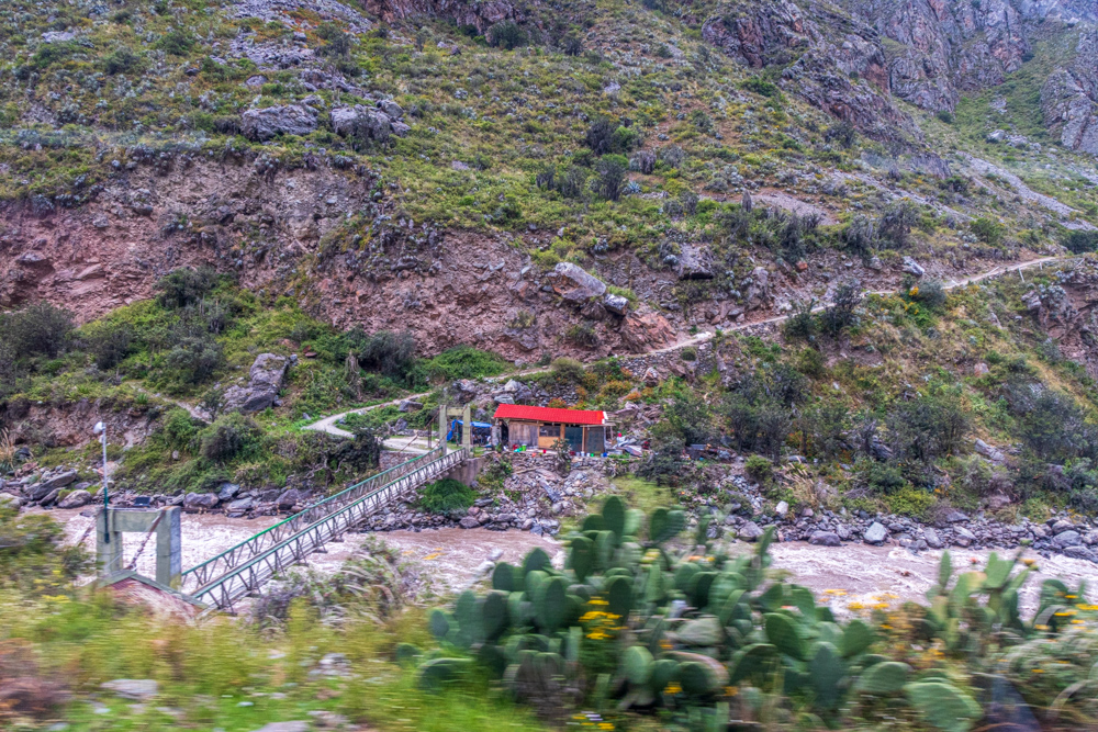
The rushing Urubamba River which we followed all the way to Aguas Calientes.
We are now past the point where any car can access - just the train.
Clouds obscured the heights of the Andes mountains.
Every now and then we would pull into a siding to allow a train coming the other way to pass. This is one of the
little stations.
Virginia Ann and Cal on the back of the train.
The train is not very long - windows in the roof make viewing the tall mountains easy.
After 2 hours we are in Aguas Calientes - the little town on the Urubamba River below Machu Picchu.
The river
Aguas Calientes flows through the middle of town.
On our way to the top of Machu Picchu we walked alongside some terraces then through the jungle.
This is where we popped out to enjoy our first view of Machu Picchu.
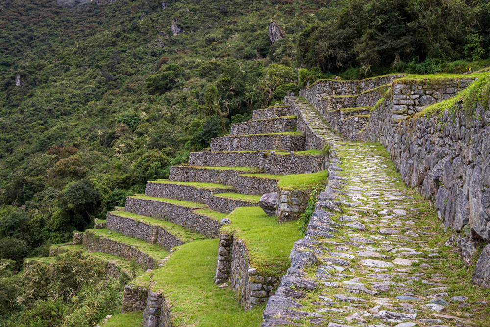
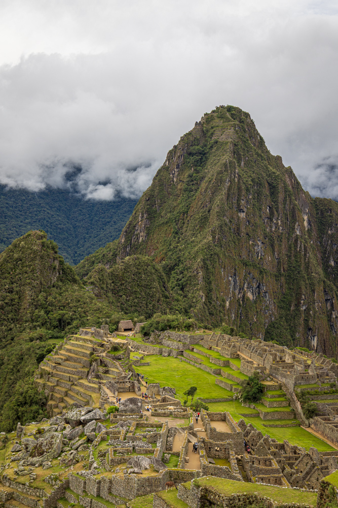
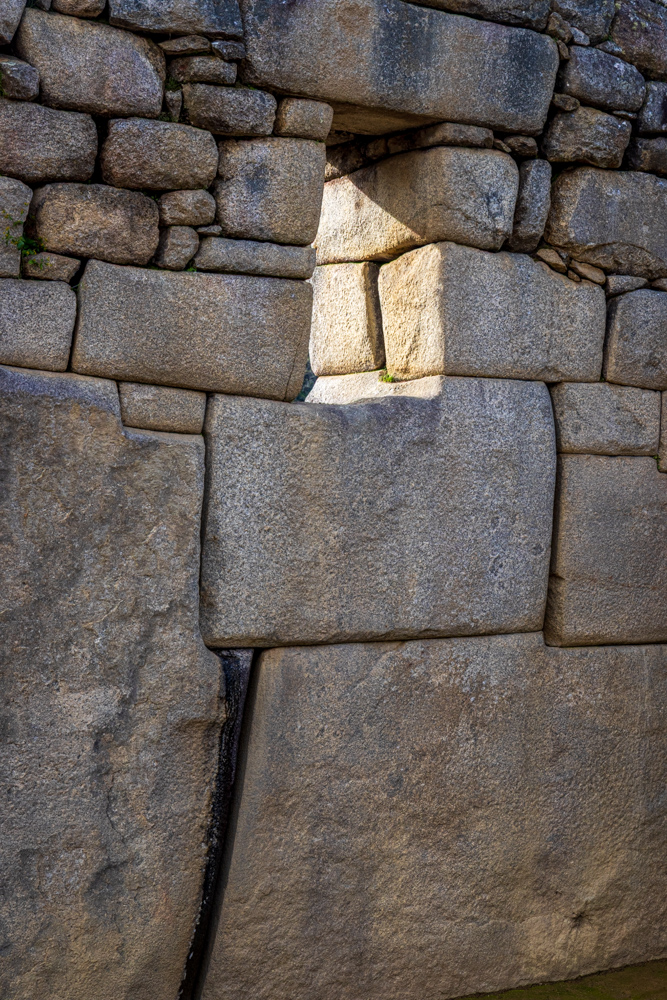
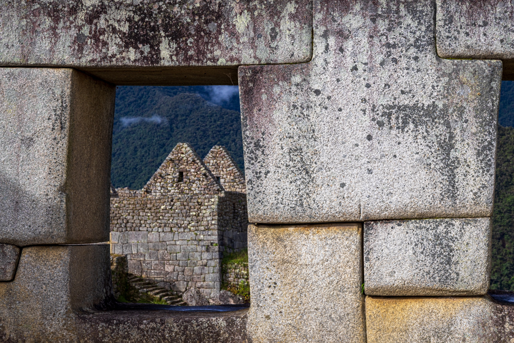
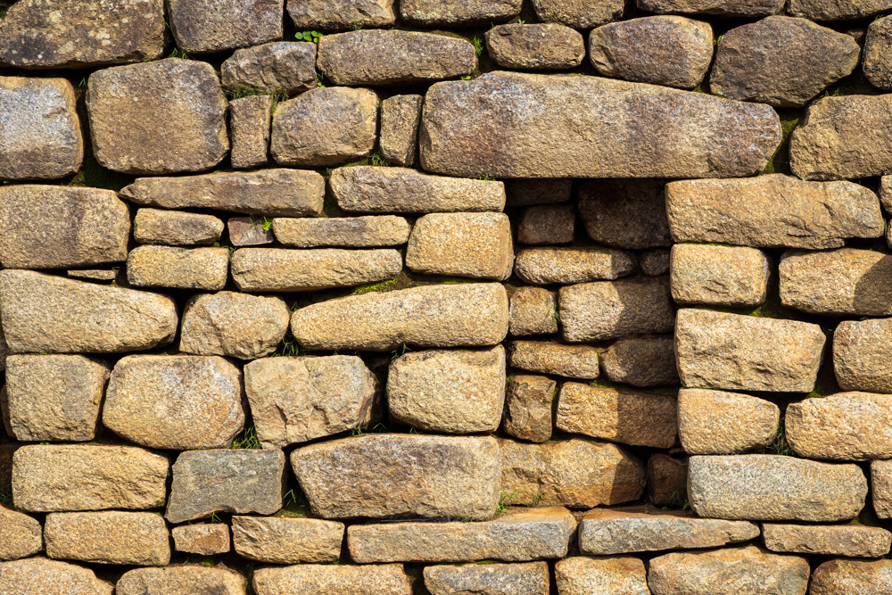
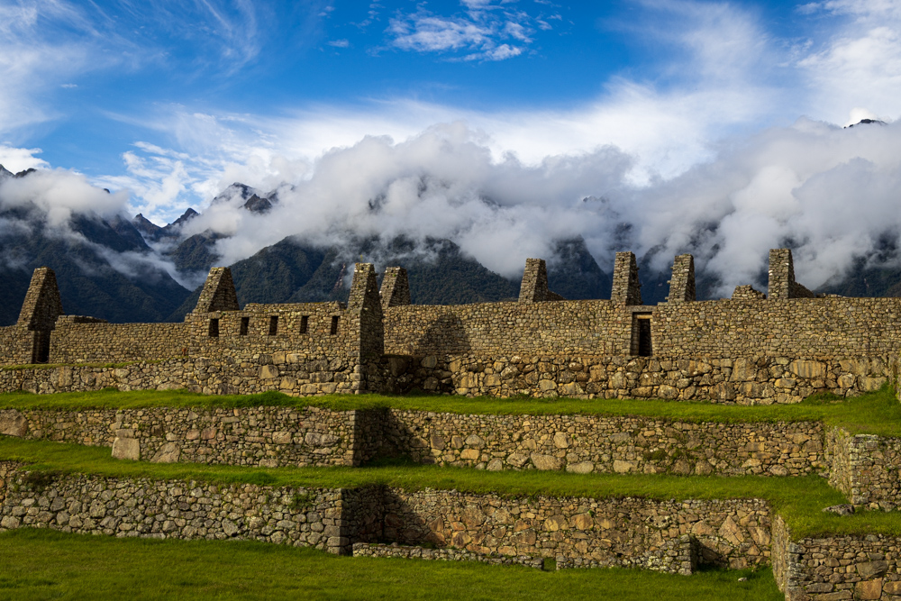
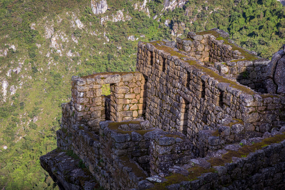
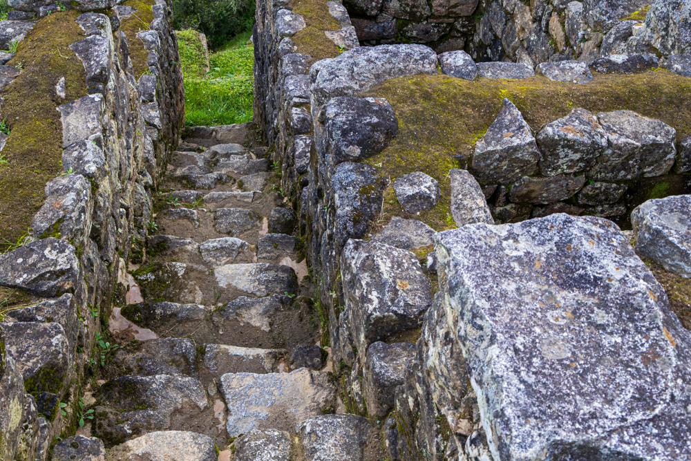
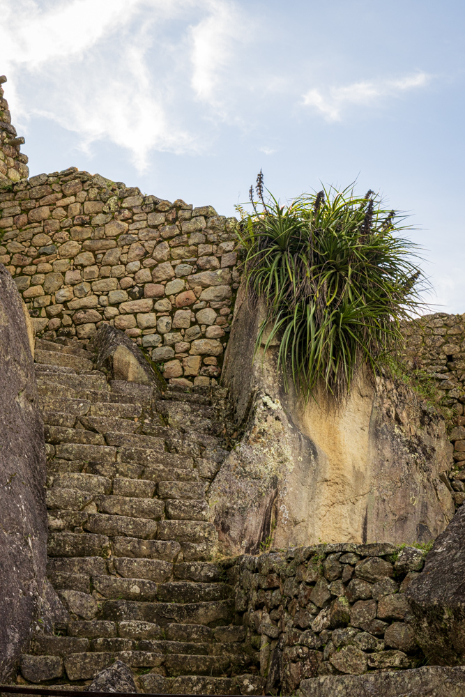
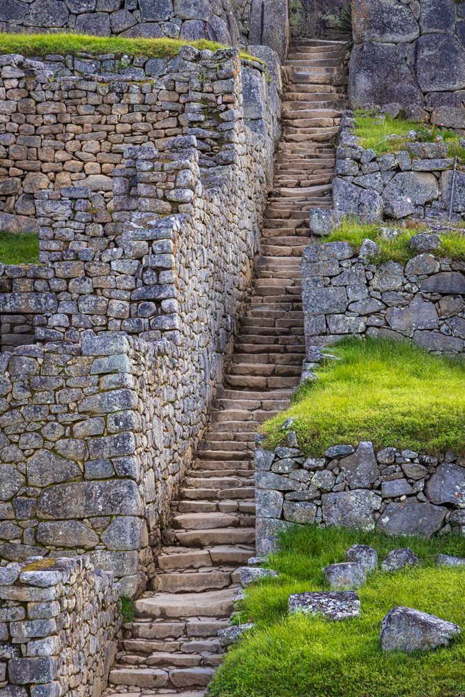
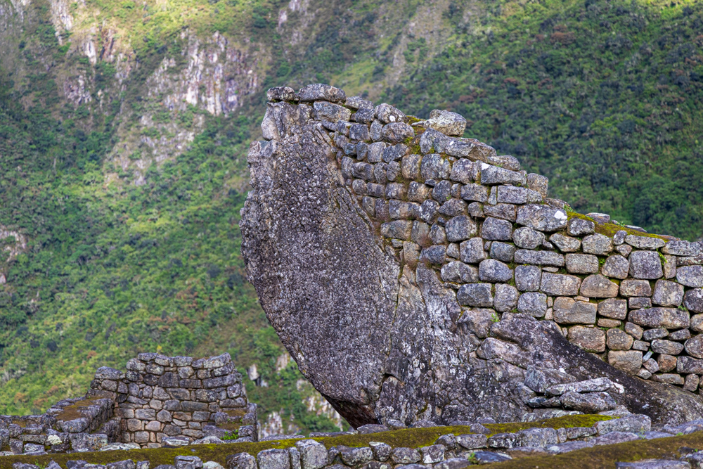
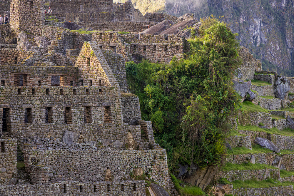
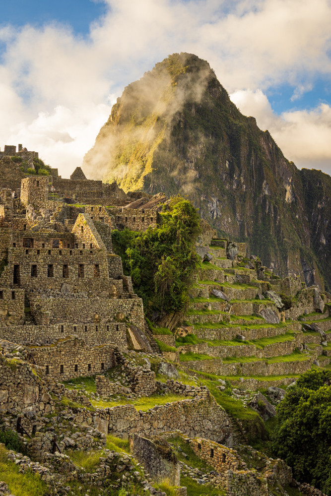
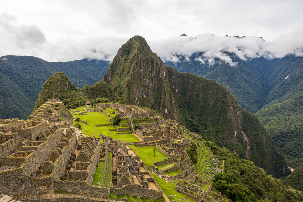
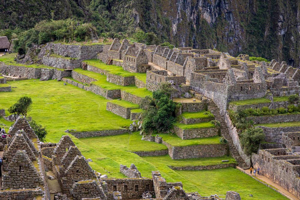
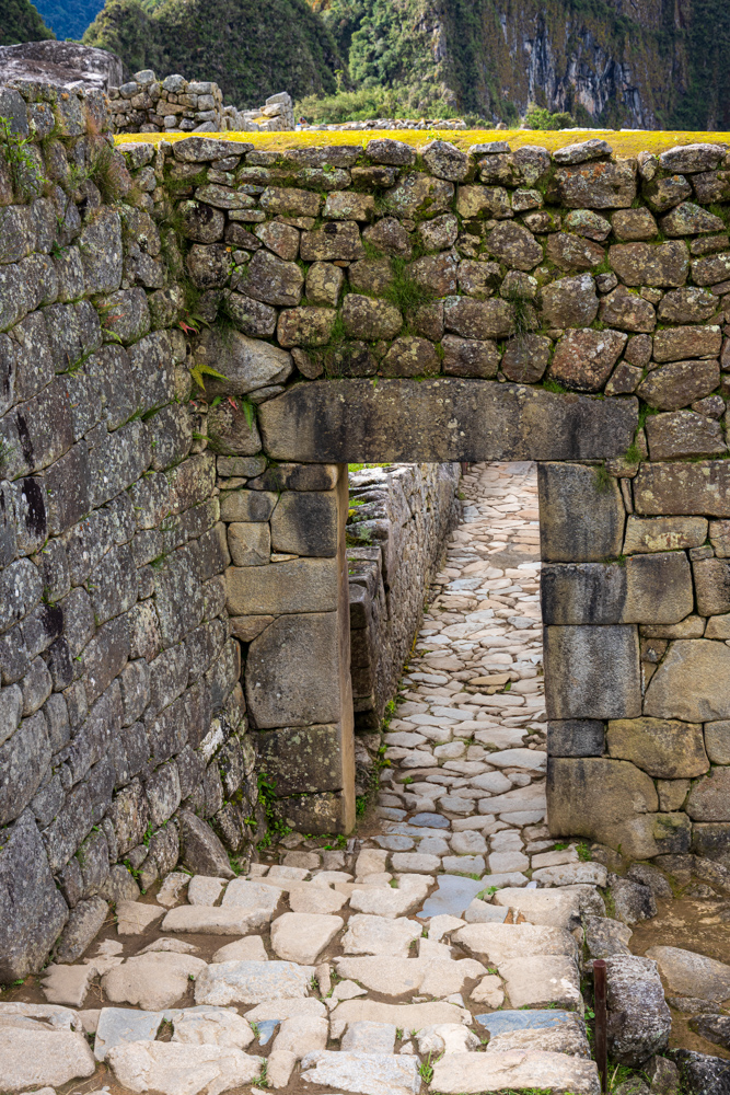
Fortunately the Spaniards never reached
Machu Picchu, so it is relatively intact. Unfortunately that means that there are no written records of the site. So the
uses of the buildings and site are pretty much speculation.
Most recent archaeologists believe that Machu
Picchu was constructed as an estate for the Inca emperor Pachacuti (1438-1472). The Incas built the estate around 1450
but abandoned it a century later, at the time of the Spanish conquest.
It looks like Machu Picchu is very high - which it is - but it is only at 8,000 feet so the flora is very tropical
compared to the higher Sacred Valley and the 11,000 feet of Cusco.
Cal taking one of a thousand pictures of Machu Picchu.
The view from the terraces toward Huayna Picchu the taller mountain and Huchuy Picchu the smaller peak.
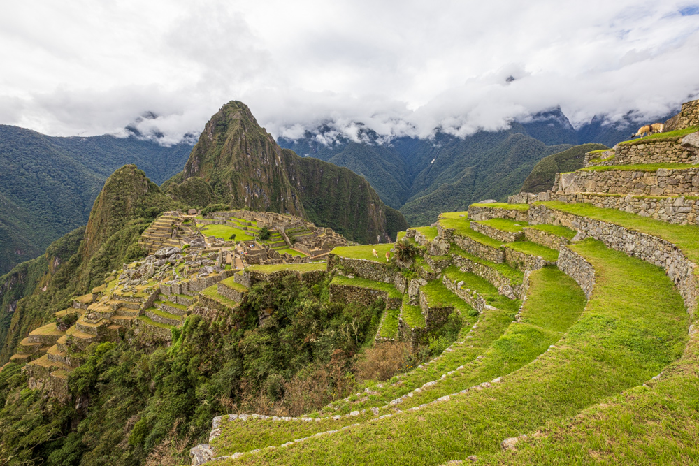
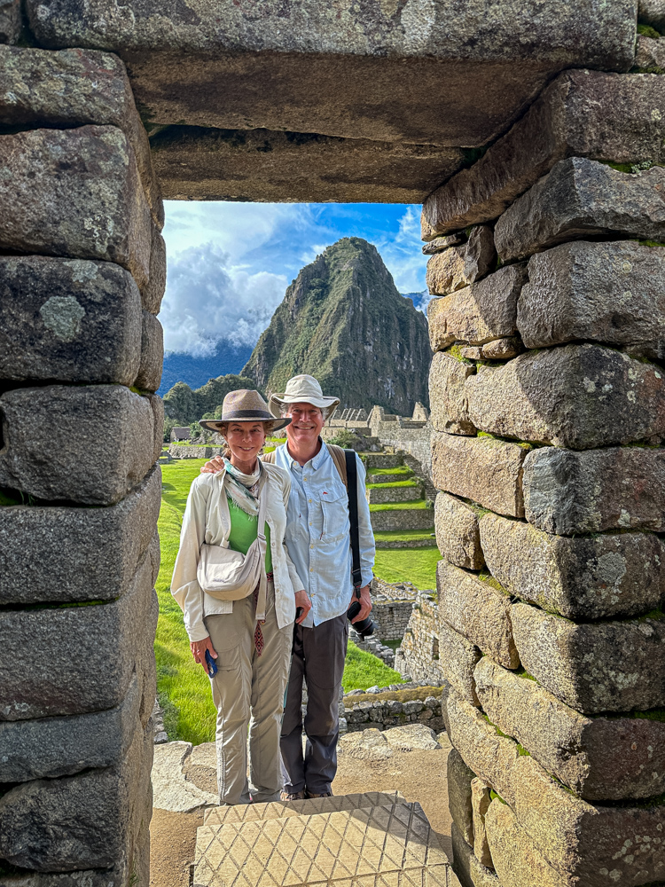
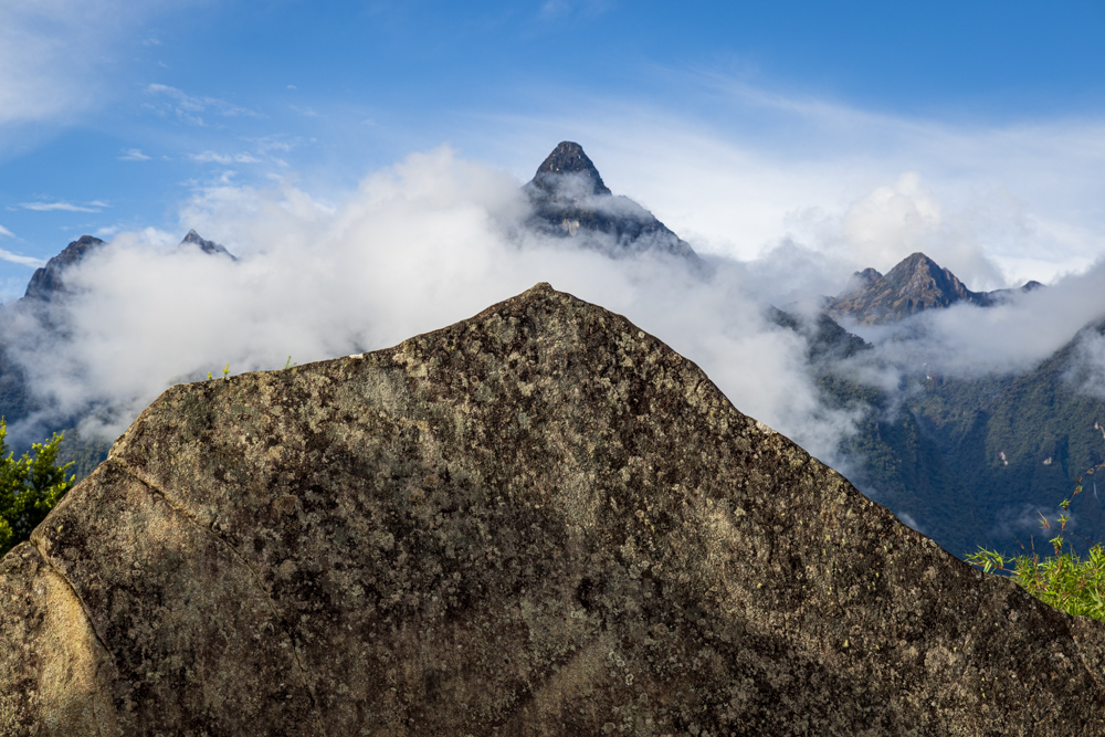
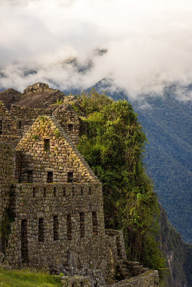
Machu Picchu is the name of the mountain the site sits on.
Machu Picchu with two Llamas grazing on a terrace.
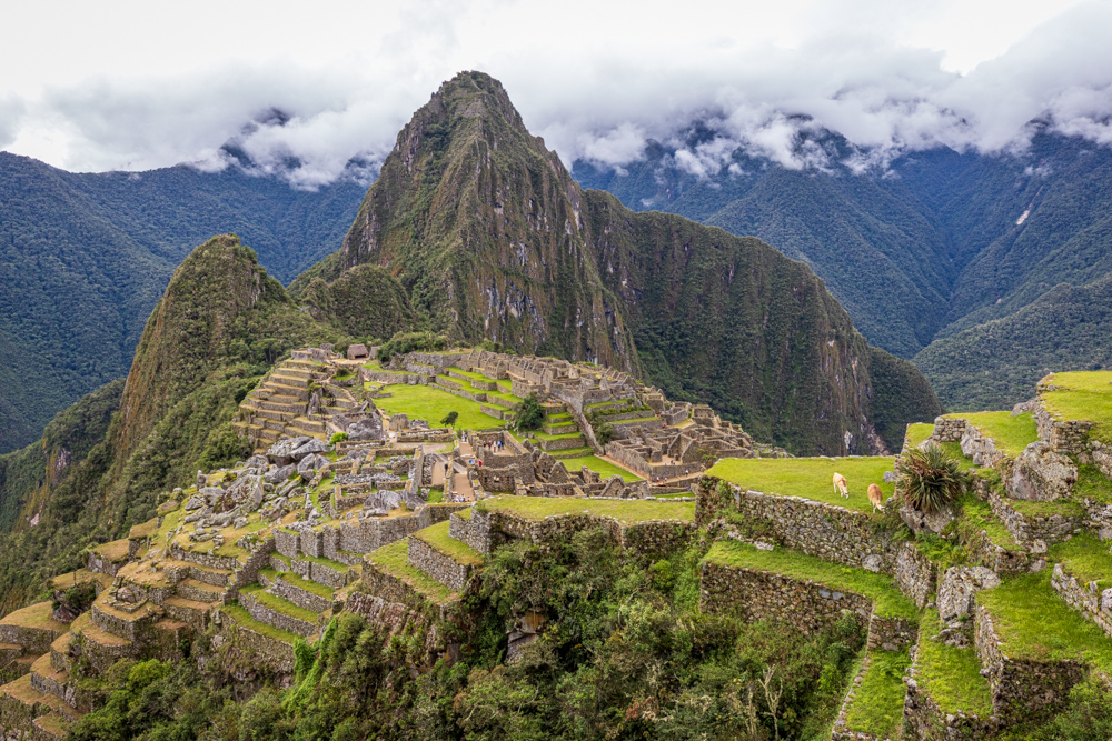
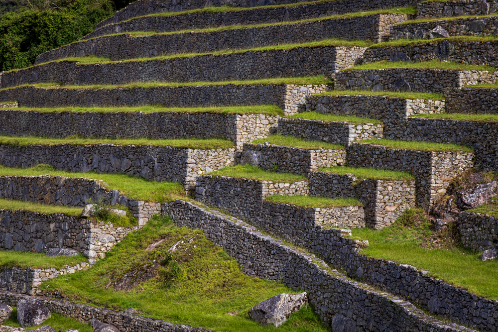
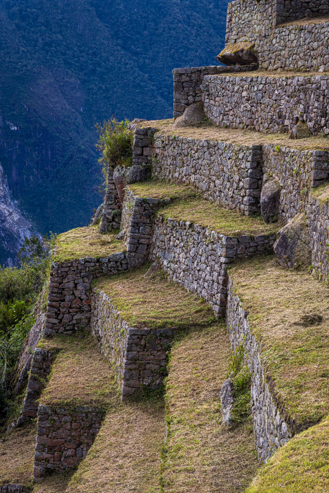
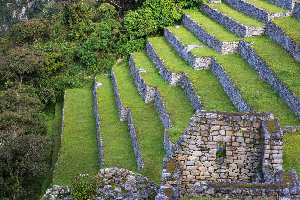
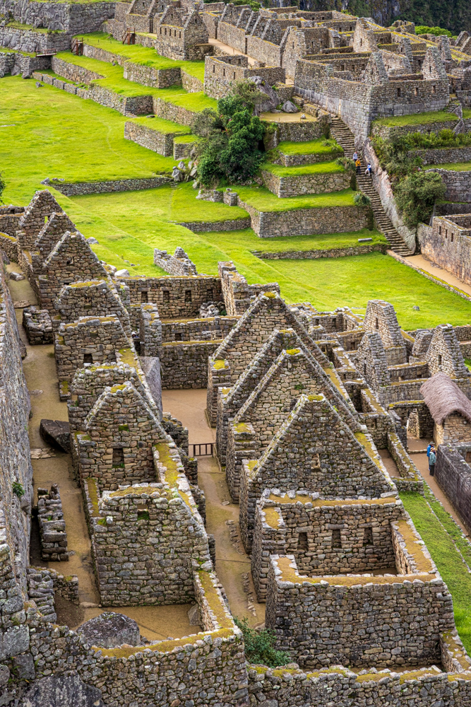
During its use as a city, it is estimated that about
750 people lived there.
Looking over the living area across the site.
Beautiful view of the city.
Cal and Virginia Ann at Machu Picchu.
Living quarters for the noble people.
You can see the steep slope the city is built on with stairs and terraces everywhere to control erosion.
The peaked roofs would have been covered in thatch.
The center of the city is an open area.
A doorway into the site through the area where the nobles would have lived.
A pleasant surprise - a chinchilla. We would see another one but not as photogenic.
The top of Huayna Picchu with terraces and ruins.
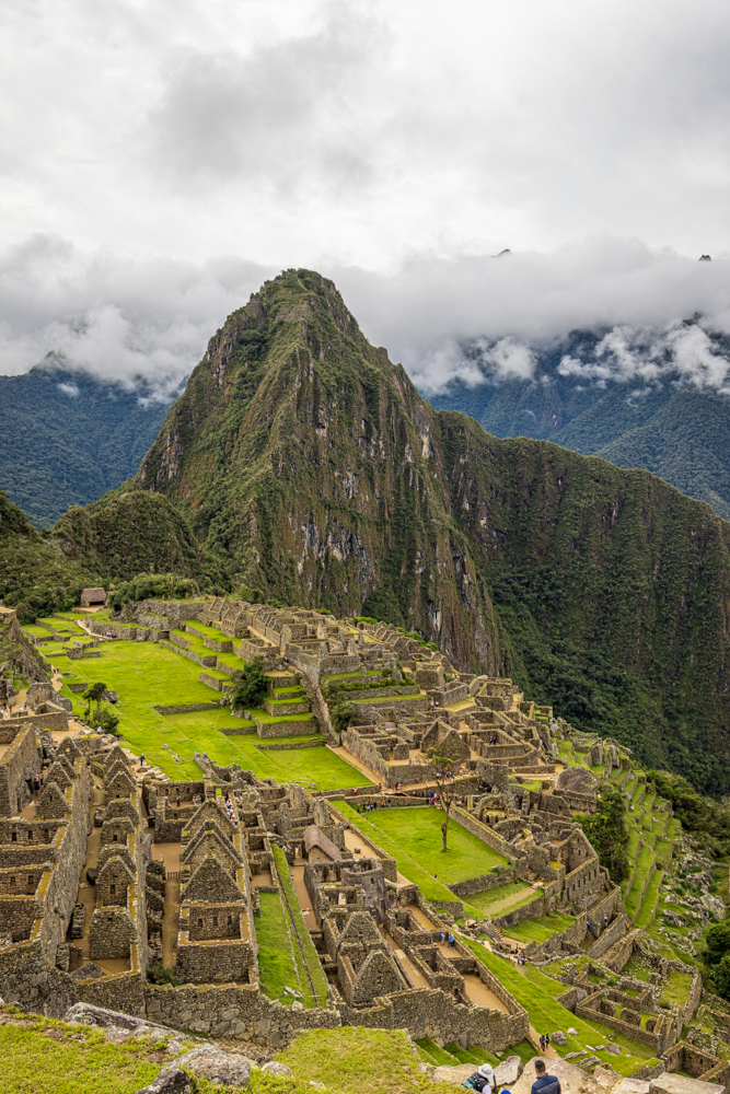
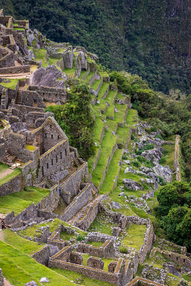
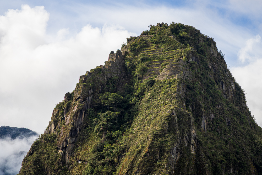
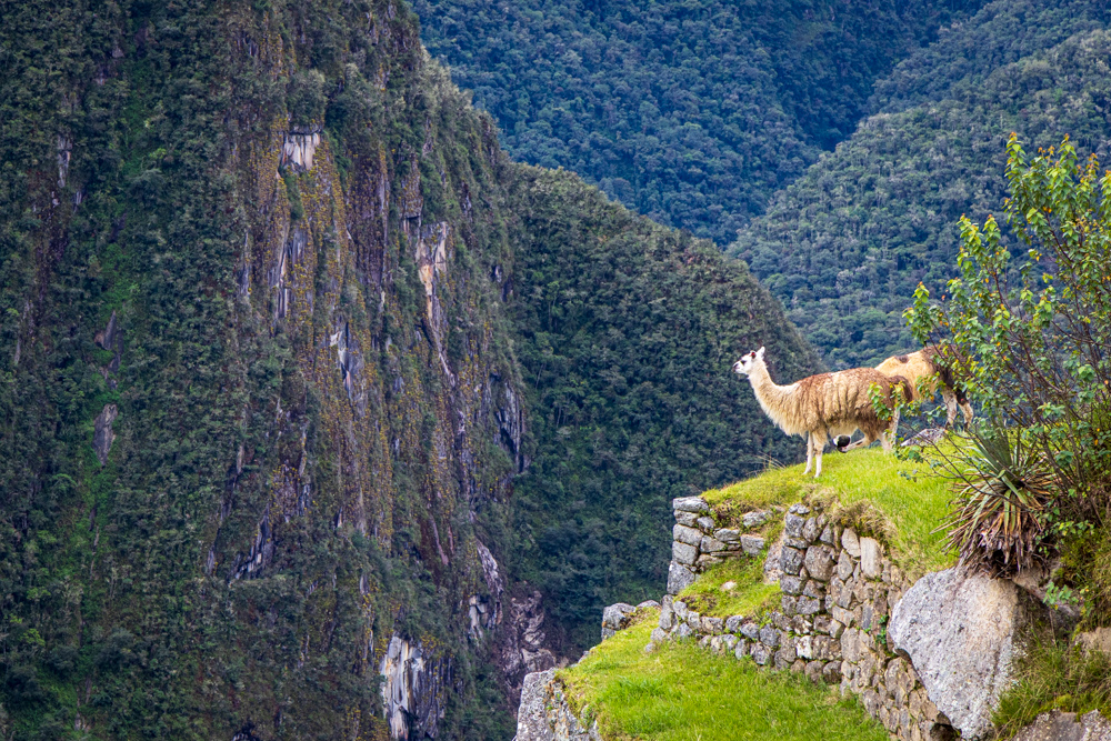
The Incas built a trail up the side of the Huayna Picchu
and built temples and terraces on its top.
The Temple of the Sun
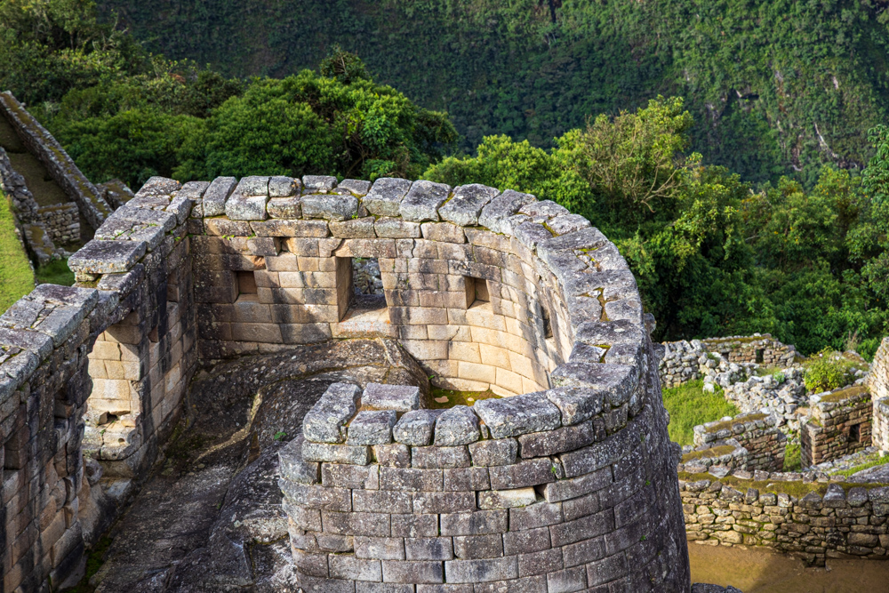
This semicircular temple is similar to the Temple of the Sun found in Cusco and the
Temple of the Sun found in Pisac.
Virginia Ann and Cal in a doorway with Huayna Picchu in the background.
The terraces - probably used for farming.
Smaller terraces - not sure how these could be used for farming.
The rock work is so special.
A look from one house to another.
The ubiquitous niche in a wall.
The "industrial area" with the clouds and the mountains in the background.
It is believed that this stone was carved to resemble the mountain in the distance.
In the "industrial area" some structures seem to hang in midair.
And stairs seem to go nowhere.
The jungle would reclaim the site if not for constant maintenance.
The Sun Gate is the entrance high up on the mountain known as Machu Picchu. The Inca trail crests the hills and those
hiking up see the ruins for the first time from this gate. They still have 30 minutes of hiking to the site.
Long staircase.
Condor Rock - believed to be part of a temple. The Inca built on top of the bedrock.
The living quarters go all the way to the terraces.
Buildings clinging to the steep slopes.
Homes thought to be for important people on the edge of the city.