Early in the morning we were passing through the Wallula Gap - essentially coming out of the Columbia Gorge.
An Albatrosses moving quickly along the river.
Trains move on both sides of the river and appear tiny against the rocks.
A Pelican flies by - over a hundred miles from the ocean
Looking back at Wallula Gap
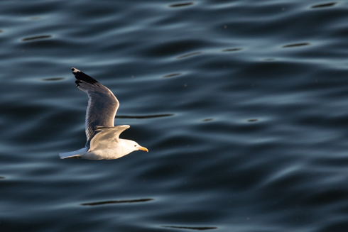
Cormorant flying over the Columbia River
A factory on the shore near Wallula, Washington
Birds roost on a tree in the middle of the river
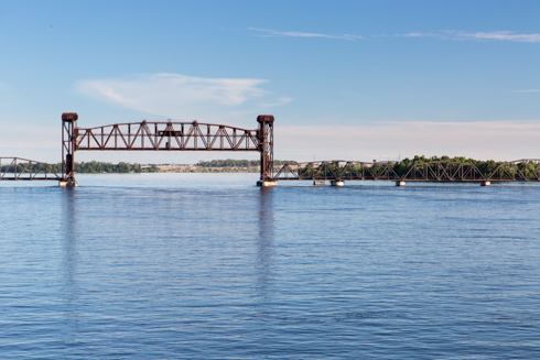
A railroad bridge near Burbank, Washington. It is just after this bridge that the Snake River flows into
the Columbia River.
A barge is waiting to go down (or up) stream.
This was the first time we were awake for a lock with a guillotine gate. Most of the gates swing out but this
gate goes up - a huge cement door you travel under to get into and out of the lock.
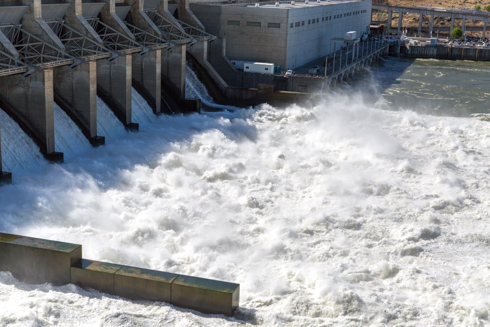
This is the Ice Harbor Dam and Locks
In each lock the ship's pilots had to dock the S.S. Legacy in the lock so it would not move around while
the water level changed. It is a tricky maneuver and here is one of the pilots at the controls.
Ice Harbor spillway is very high. Many of the dams were very high. It is too bad as this water is not
generating power - just photographs.
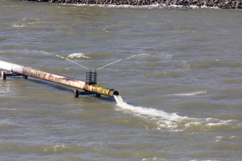
These pipelines were confusing when I first saw them, but at the Bonneville Dam we learned that this is one of
the ways the Corps of Engineers help out the Salmon. These pipes allow fish to swim around the dam from top to
bottom.
Since they are typically young fish, the sprinklers keep the birds away as the fish spill out into the river.
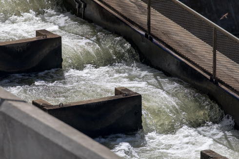
For fish going up stream there are the fish ladders at every dam.
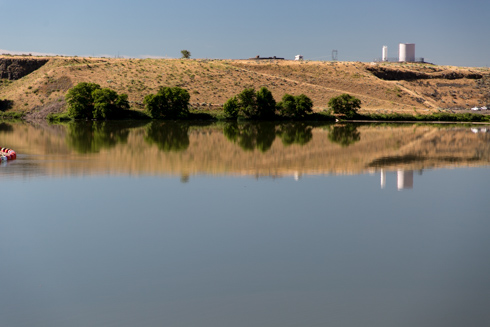
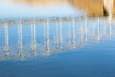
Once through the Ice Harbor locks the water is very calm reflecting the eastern Washington landscape.
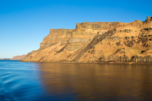
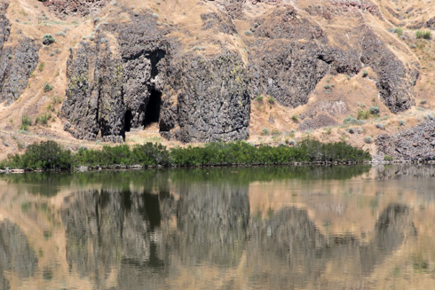
Interesting rock - The entire Columbia River basin is draining an area covered in lava millions of years ago. A
series of huge Ice Age floods carved the land exposing the black basalt rocks left over from the lava
flows.
More basalt near the river's edge
A railroad trestle along the Snake River
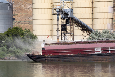
A barge being loaded with grain.
One of the clues to what carved the landscape were the wave formations in the land high on the hills. Here you
can see how the floods cut waves into the rock.
Lyons Ferry Bridge also known as the Snake River Bridge. A ferry on the Snake River was here for over 100 years.
It finally ceased operation in
1968. The Lyons Ferry Bridge is in the background and a railroad bridge in the foreground.
In the constant battle to help the salmon to and from the ocean, one technique is the fish barge. Here is a
juvenile fish barge moving down river with small fish. To help them on their return they pump river water
into the barge as they go along so the fish can find their way back upstream.
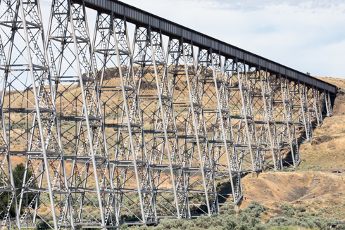
The Lyons Ferry Bridge supports a gang of loons - there are many nests in the steel trestles.
The steel trestles of the Lyons Ferry Bridge
The Lyons Ferry Bridge is the lowest bridge on the Snake River and the S.S. Legacy just clears the bridge buy a
few feet.
Interesting landscape as we move further to the east.
Blue sky over the Snake River and brown hills
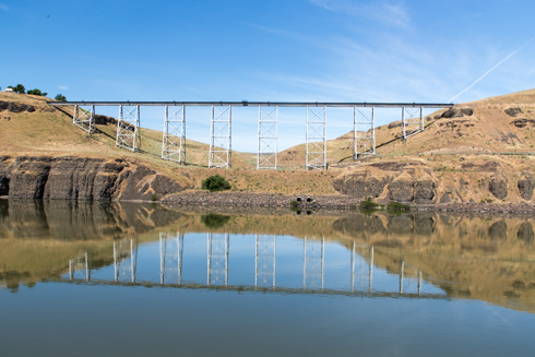
Reflection of the Elmer Huntley Bridge over the Snake River at Peyton. There was a ferry here as well so the
bridge
is called the Central Ferry Bridge.
A grain facility in Peyton, Washington
Another interesting landscape feature we saw several times is the rock formation in basalt created when
the basalt cooled and formed into hexagonal shaped rock formations.
Geese out for a late afternoon swim on the Snake River