mexico2007
Creel is one of the highest points in the trip at 7,700 feet. Population: 25,000. Creel makes its living from the timber industry. Tourism is becoming a key industry as it is known as a gateway to the Copper Canyon.

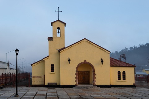
Cal was up early to get good light roaming the streets of Creel.

The mission is tiny and was not open the morning we were there.
mexico2007
The day began with a low fog and a threat of rain.

Fortunately the fog burned off and the rest of the day was pleasant.
mexico2007
Creel is a very colorful town in the Sierra Tarahumara mountains. Most of the buildings on the main street were colorfully painted. This one has a small Tarahumara Indian.
mexico2007
Another colorful building.
mexico2007
The Catholic Church is across from the Mission. Taken at sunrise, the church is beautiful.
mexico2007
I was attracted to the dragon or gargoyle-like light fixtures all over town.

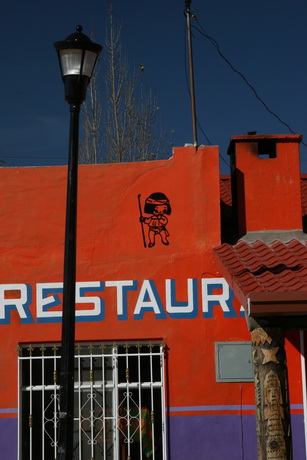
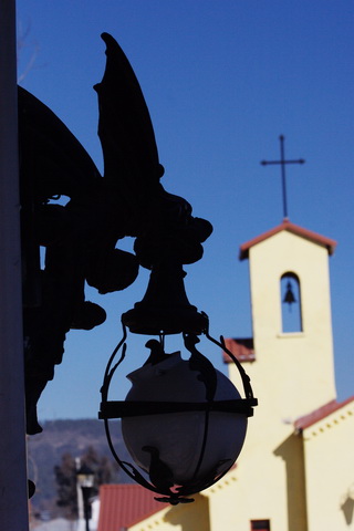
This is on the bandstand but they were many on the streetlights.
mexico2007
High over the town is a statue of Jesus reaching toward the sky.

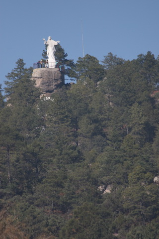
This photograph was taken from the train station while we waited for the Copper Canyon train.

Several members of the California hiking group went up to the statue on an early morning hike.
mexico2007
Our first exposure to the Tarahumara people and their crafts was on the platform waiting for the train. This little girl was picture-perfect and had her photo taken several times.

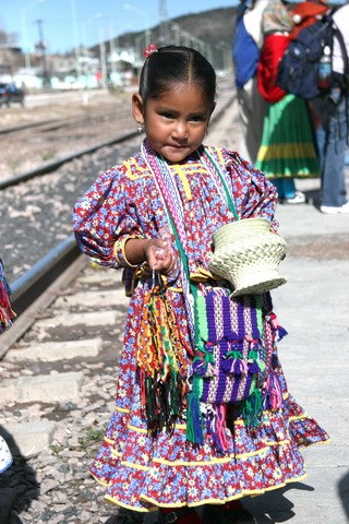
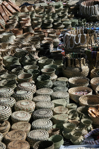
The Tarahumara people are the native inhabitants of the Copper Canyon. They number over 50,000, are shy, and famous for their handicrafts and dancing.

The Tarahumara are well known for their running ability. In their language they call themselves Raramuri, which means 'those who run fast'. They can hunt down a deer by chasing it until the deer collapses from exhaustion.
mexico2007
The train arrives. The Chihuahua al Pacfico Railroad, known as ChP or Chepe, is a major rail line in northwest Mexico linking the city of Chihuahua, Chihuahua, to the town of Los Mochis, Sinaloa, near the Pacific coast. It runs 400 miles, traversing the Copper Canyon

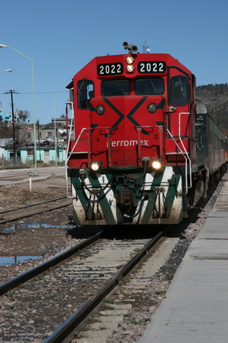
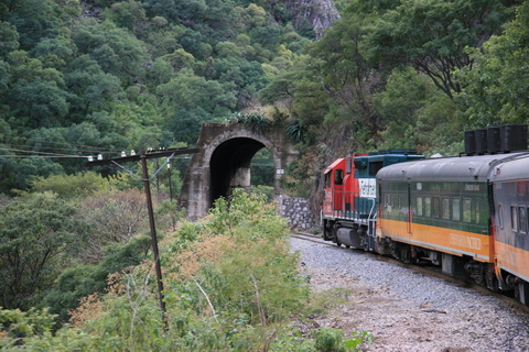
The railroad took 90 years for construction at a cost of $90 million - completed in 1961.
mexico2007
The tracks pass over 37 bridges. This is the only route through the Copper Canyon. These rails are used by freight and passenger trains.

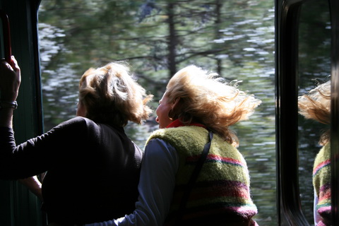
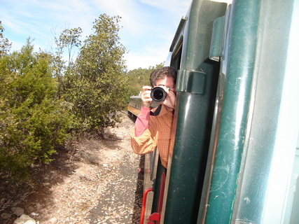
We rode in a First Class car which was roomy. The cars were refurbished in 1999.
mexico2007
And through 86 tunnels - this is one of the smaller ones. We actually went through only 82 (I was told this but did not count them) tunnels on this trip.
mexico2007
Virginia Ann and Mary look down the tracks.
mexico2007
Mary enjoying the wind in her hair.
mexico2007
At one stop the local Tarahumara Indians offer to sell baskets to train passengers.

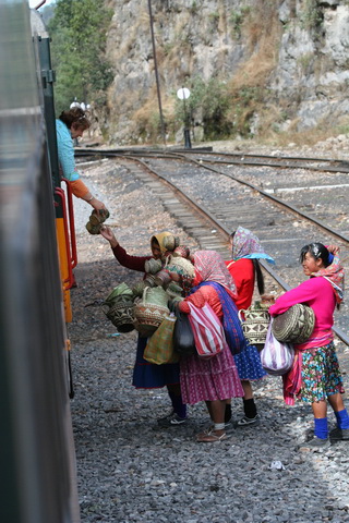
These baskets would become the subject of much attention and jokes for at every stop we would have the opportunity to purchase and everyone tried. At the end of the trip there were several travelers carrying large loads of baskets.
mexico2007
The state of Chihuahua is also known for apple production. The first apple trees were planted in Chihuahua at the end of the 17th century by Catholic missionaries. Commercial orchards were planted in the Casas Grandes area in the late 1800's by Mormon colonists from the United States, and in the Cuauht�moc area in the 1930's by Mennonites from Canada.

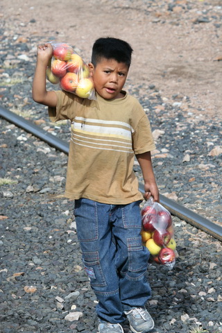
Chihuahua has about 75,000 acres of orchards and produces about 60 percent of the Mexican apple crop. Fresh apple production has averaged just under 16 million boxes over the past five years.

Cal bought one bag of these apples for 2 dollars.
mexico2007
The train passes just to the west of the Copper Canyon but still traverses grand mountains and waterfalls.

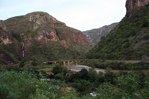
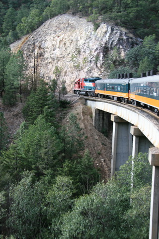
This is the town of Temoris and in this valley the train winds back and forth over three levels of train track.
mexico2007
Cal spent the entire 8 hours of the train ride standing in the door taking pictures. Most of the other travelers were more sane and enjoyed the First Class train car with large picture windows.
mexico2007
A closeup of one waterfall.
mexico2007
The train stopped at Divisadero, a popular lookout spot over the canyons.

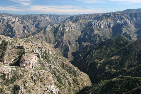
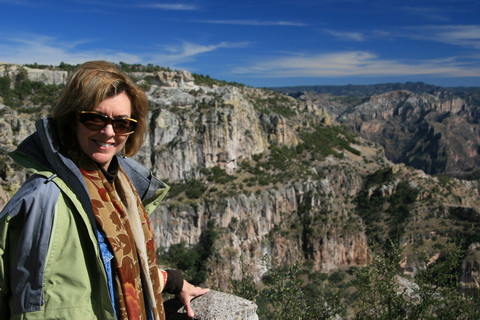
The 25,000 square mile area of the Sierra de Tarahumaras lies in the heart of the Serra Madre Mountains. The first major canyons are collectively known as the Copper Canyon. Overall, the canyon is five times wider and one and a half times deeper than the Grand Canyon.
mexico2007
Virginia Ann with the Copper Canyon in the background.
mexico2007
More baskets at this stop They went on and on...
mexico2007
Virginia Ann takes a turn with the camera.
mexico2007
A Mexican cemetery in the setting sun.
mexico2007
Sun reflected in the El Fuerte River.
mexico2007
The sunset on the way to El Fuerte.


Top
Top